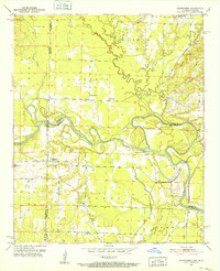
1951 Map of Cerrogordo
USGS Topo · Published 1952About this map
The Little River twists through the Arkansas-Oklahoma borderlands in this 1951 survey, creating a complex network of meanders and an Old Channel that defines the local topography. At the center of this river-bound landscape is the settlement of Cerrogordo, positioned just south of the winding waterway. The map records a rural society organized around small crossroads and family landmarks, featuring West Otis Ch and the Pauley Cem near the southern border.
Find a feature on this map
29 named features on this map. Tap any name to fly to it.
Don’t see what you’re looking for? This feature index may not catch every label — zoom into the map to look around manually.
Map Details
Editions of this 1951 Cerrogordo Map
4 editions found

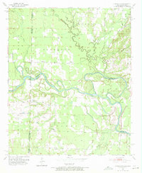
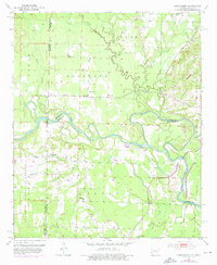
Other maps of this area

1902 · Lukfata
USGS Topo · 1:125,000

1913 · De Queen
USGS Topo · 1:125,000

1950 · Mcalester
USGS Topo · 1:250,000

1950 · Winthrop
USGS Topo · 1:24,000

1950 · Goodwater
USGS Topo · 1:24,000

1950 · Bokhoma
USGS Topo · 1:24,000

1951 · Winthrop
USGS Topo · 1:24,000

1951 · Bokhoma
USGS Topo · 1:24,000

1951 · Goodwater
USGS Topo · 1:24,000

1951 · Arkinda
USGS Topo · 1:24,000