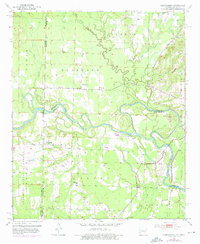
1951 Map of Cerrogordo
USGS Topo · Published 1976About this map
The Little River defines the landscape of the Arkansas-Oklahoma borderlands in this mid-century study, winding through a complex of wetlands and abandoned meanders known as the Old Channel. The border area is anchored by several rural settlements including Cerrogordo, Wade, and West Otis, which supported the surrounding timber and agricultural interests. The industrial backbone of the region is the Kansas City Southern railroad, which cuts through the northeastern corner near the Rolling Fork.
Find a feature on this map
30 named features on this map. Tap any name to fly to it.
Don’t see what you’re looking for? This feature index may not catch every label — zoom into the map to look around manually.
Map Details
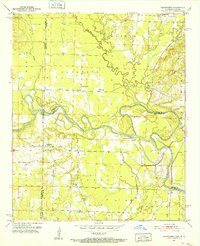
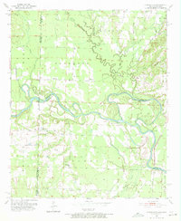
Editions of this 1951 Cerrogordo Map
4 editions found

Other maps of this area

1902 · Lukfata
USGS Topo · 1:125,000

1913 · De Queen
USGS Topo · 1:125,000

1950 · Mcalester
USGS Topo · 1:250,000

1950 · Winthrop
USGS Topo · 1:24,000

1950 · Goodwater
USGS Topo · 1:24,000

1950 · Bokhoma
USGS Topo · 1:24,000

1951 · Winthrop
USGS Topo · 1:24,000

1951 · Bokhoma
USGS Topo · 1:24,000

1951 · Goodwater
USGS Topo · 1:24,000

1951 · Arkinda
USGS Topo · 1:24,000