2022 Map of Ceylon
USGS Topo · Published 2022About this map
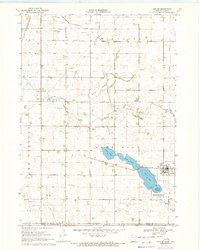
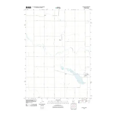
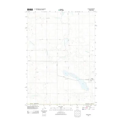
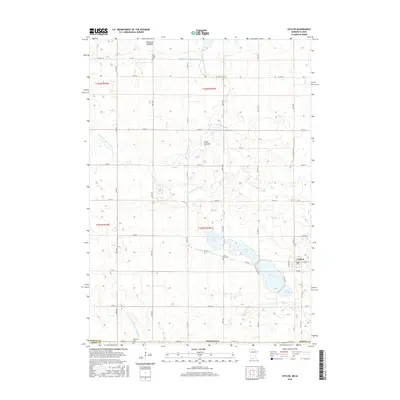
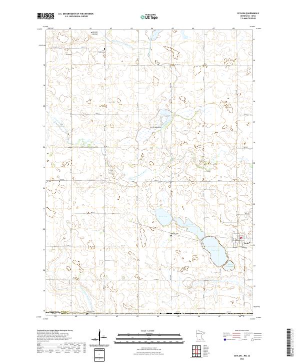
Ceylon serves as the primary hub in this borderland region where Martin County, Minnesota, meets Emmet County, Iowa. The landscape is defined by its complex hydrologic history, evidenced by the large footprints of the Manyaska Lakebed and Smith Lakebed, alongside active water bodies like Clear Lake and Susan Lake. The agrarian grid is deeply integrated with a network of water management features, including the Judicial Ditch Number Fifty and County Ditch Number Fiftythree, which channel water toward the E Fork Des Moines River. For those researching local family history, several burial grounds are preserved across the townships, notably Lone Cedar Cem in the north and Lake Belt Cem near the central lakes, providing a stable geographic record of the area's early settlement patterns.
Find a feature on this map
34 named features on this map. Tap any name to fly to it.
Don’t see what you’re looking for? This feature index may not catch every label — zoom into the map to look around manually.
Map Details
Editions of this 2022 Ceylon Map
This is the sole edition of this map. No revisions or reprints were ever made.
Historical Maps of Ceylon Through Time
6 maps found