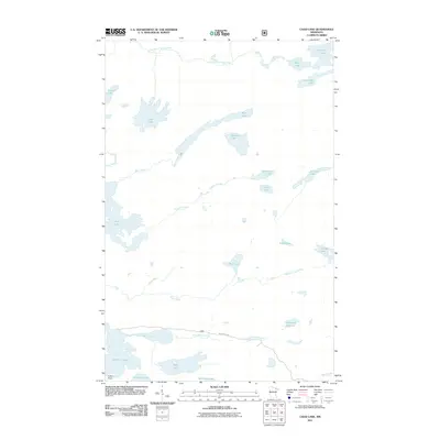
2011 Map of Chad Lake
USGS Topo · Published 2011About this map
Vermilion Lake and its intricate northern shoreline anchor this 2011 survey of the Superior National Forest region. The landscape is defined by an immense network of interconnected waterways, where large basins like Chad Lake and Cummings Lake are linked by numerous smaller bodies such as Western Lake, Soroll Lake, and Adolf Lake. This hydrologic pattern reveals the character of the Laurentian Shield, where drainage is managed through systems like the Little Indian Sioux River and a series of creeks including Buck Creek, Glenmore Creek, and Phantom Creek.
Find a feature on this map
26 named features on this map. Tap any name to fly to it.
Don’t see what you’re looking for? This feature index may not catch every label — zoom into the map to look around manually.
Map Details
Editions of this 2011 Chad Lake Map
This is the sole edition of this map. No revisions or reprints were ever made.
Other maps of this area

1954 · Hibbing
USGS Topo · 1:250,000

1954 · International Falls
USGS Topo · 1:250,000

1956 · Sioux Pine Island
USGS Topo · 1:24,000

1956 · Tower
USGS Topo · 1:24,000

1956 · Chad Lake
USGS Topo · 1:24,000
1956 · Soudan
USGS Topo · 1:24,000

1956 · Crab Lake
USGS Topo · 1:24,000

1956 · Eagles Nest
USGS Topo · 1:24,000

1957 · Hibbing
USGS Topo · 1:250,000

1957 · International Falls
USGS Topo · 1:250,000
Featured Places
- Eagles Nest Township, MN
- Northeast St Louis, MN
- Crab Lake, MN
- Breitung Township, MN
- Saint Louis County, MN