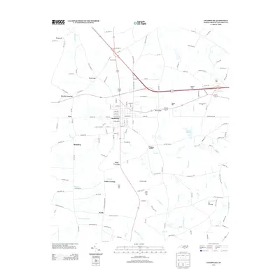
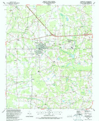
2013 Map of Chadbourn
USGS Topo · Published 2013About this map
Chadbourn serves as the central hub of this Columbus County landscape, defined by a distinct grid of streets intersected by major rail corridors. The surrounding terrain is a complex network of wetlands and namesake basins, including Hell Cat Bay, Fivemile Bay, and Fox Pond Bay. These geological depressions, alongside the winding course of Beaver Dam Swamp and Fivemile Br, have historically dictated the placement of rural settlements and transit points.
Find a feature on this map
142 named features on this map. Tap any name to fly to it.
Don’t see what you’re looking for? This feature index may not catch every label — zoom into the map to look around manually.
Map Details
Editions of this 2013 Chadbourn Map
This is the sole edition of this map. No revisions or reprints were ever made.
Other maps of this area

1943 · Nakina
USGS Topo · 1:24,000

1953 · Chadbourn
USGS Topo · 1:62,500

1953 · Florence
USGS Topo · 1:250,000

1954 · Florence
USGS Topo · 1:250,000

1955 · Whiteville
USGS Topo · 1:62,500
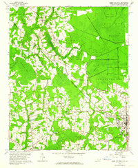
1962 · Tabor City West
USGS Topo · 1:24,000
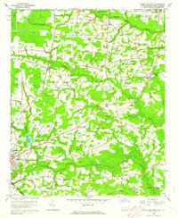
1962 · Tabor City East
USGS Topo · 1:24,000
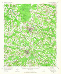
1962 · Tabor City
USGS Topo · 1:62,500

1986 · Whiteville
USGS Topo · 1:100,000
1986 · Chadbourn
USGS Topo · 1:24,000