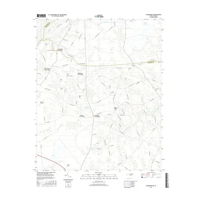
2016 Map of Chadbourn NE
USGS Topo · Published 2016About this map
Lennons Crossroads and Hickmans Crossroads anchor this rural North Carolina landscape, where the tri-county corner of Robeson, Bladen, and Columbus counties meets. The terrain is defined by a complex network of bays and branches, such as Rough Horn Bay, Button Bay, and Slender Bay, which historically dictated the placement of roads and farmsteads. The frequency of family-named cemeteries, including Kelly Cem, Browns Cem, and Thompson Cem, indicates a long-settled agricultural community with deep genealogical roots in the coastal plain.
Find a feature on this map
97 named features on this map. Tap any name to fly to it.
Don’t see what you’re looking for? This feature index may not catch every label — zoom into the map to look around manually.
Map Details
Editions of this 2016 Chadbourn NE Map
This is the sole edition of this map. No revisions or reprints were ever made.
Other maps of this area

1953 · Chadbourn
USGS Topo · 1:62,500

1953 · Florence
USGS Topo · 1:250,000

1954 · Florence
USGS Topo · 1:250,000

1955 · Whiteville
USGS Topo · 1:62,500

1955 · Elizabethtown
USGS Topo · 1:62,500

1957 · Bladenboro
USGS Topo · 1:62,500

1982 · Elizabethtown
USGS Topo · 1:100,000

1986 · Whiteville
USGS Topo · 1:100,000
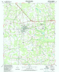
1986 · Chadbourn
USGS Topo · 1:24,000
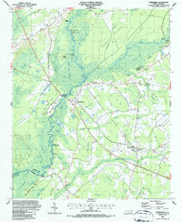
1986 · Evergreen
USGS Topo · 1:24,000
Featured Places
- Mount Olive, NC
- Wyatts Crossroads, NC
- Piney Forest Crossroads, NC
- Lennons Crossroads, NC
- Hickmans Crossroads, NC