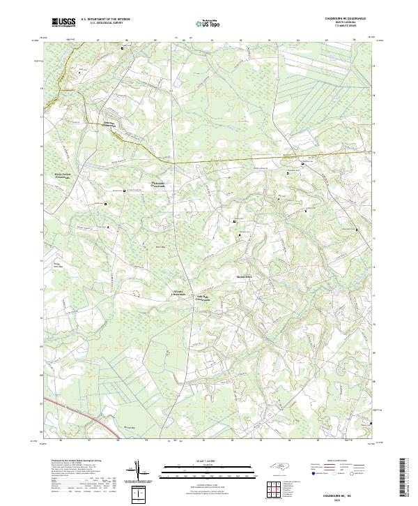
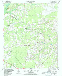
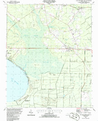
2022 Map of Chadbourn NE
USGS Topo · Published 2022This historical map portrays the area of Chadbourn NE in 2022, primarily covering Columbus County as well as portions of Bladen County and Robeson County. Featuring a scale of 1:24000, this map provides a highly detailed snapshot of the terrain, roads, buildings, counties, and historical landmarks in the Chadbourn NE region at the time. Published in 2022, it is the sole known edition of this map.
Find a feature on this map
99 named features on this map. Tap any name to fly to it.
Don’t see what you’re looking for? This feature index may not catch every label — zoom into the map to look around manually.
Map Details
Editions of this 2022 Chadbourn NE Map
This is the sole edition of this map. No revisions or reprints were ever made.
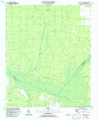
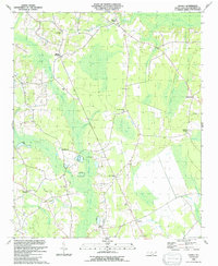
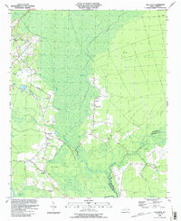
Historical Maps of Oak Dale Crossroads Through Time
24 maps found
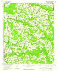
1942 Juniper Creek
Columbus County, NC
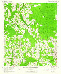
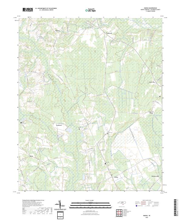
1943 Nakina
Columbus County, NC

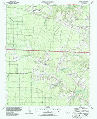
1943 Pireway
Columbus County, NC
1953 Pireway
Columbus County, NC
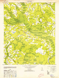
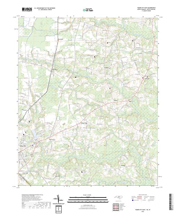
1962 Tabor City East
Columbus County, NC
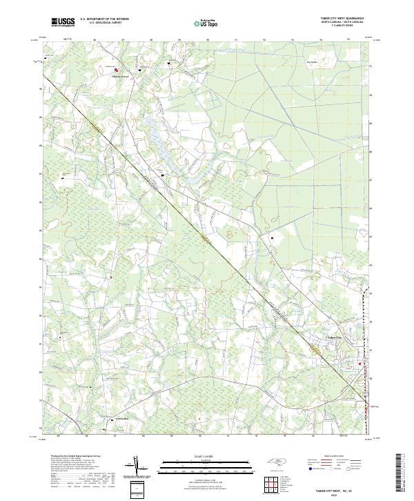
1962 Tabor City West
Columbus County, NC
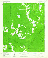
1986 Chadbourn NE
Columbus County, NC
1986 Freeman
Columbus County, NC
1986 Lake Waccamaw East
Columbus County, NC

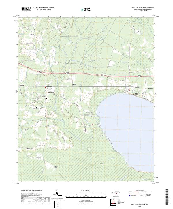
1987 Lake Waccamaw West
Columbus County, NC
1990 Juniper Creek
Columbus County, NC
1990 Nakina
Columbus County, NC
1990 Old Dock
Columbus County, NC
1990 Pireway
Columbus County, NC
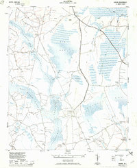
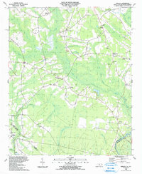
2022 Chadbourn NE
Columbus County, NC
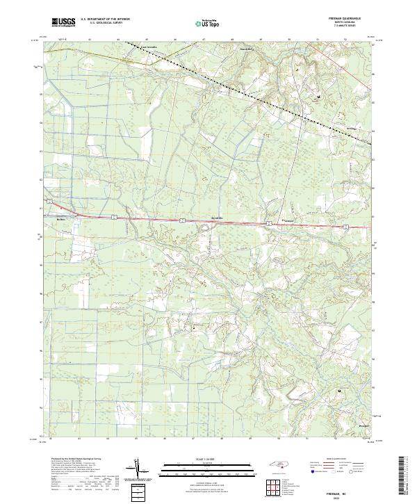
2022 Freeman
Columbus County, NC
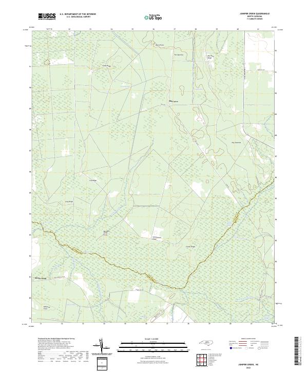
2022 Juniper Creek
Columbus County, NC
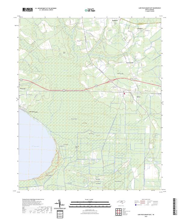
2022 Lake Waccamaw East
Columbus County, NC
2022 Lake Waccamaw West
Columbus County, NC
2022 Nakina
Columbus County, NC
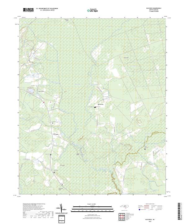
2022 Old Dock
Columbus County, NC
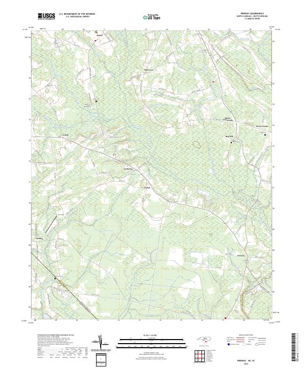
2022 Pireway
Columbus County, NC
2022 Tabor City East
Columbus County, NC
2022 Tabor City West
Columbus County, NC
Featured Locations
- Lennons Crossroads, NC
- Mount Olive, NC
- Wyatts Crossroads, NC
- Hickmans Crossroads, NC
- Piney Forest Crossroads, NC