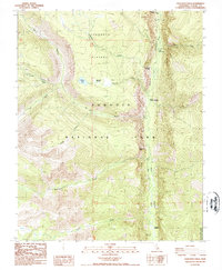
1988 Map of Chagoopa Falls
USGS Topo · Published 1988About this map
Chagoopa Plateau dominates the high elevation of this 1980s landscape, positioned west of the steep Kern River canyon. This portion of Sequoia National Park illustrates a dramatic high-country environment where glacial features like Moraine Lake and geological points such as Rattlesnake Point define the terrain. The presence of Sky Parlor Meadow and Funston suggest the importance of these subalpine openings within the larger forest and rock system.
Find a feature on this map
22 named features on this map. Tap any name to fly to it.
Don’t see what you’re looking for? This feature index may not catch every label — zoom into the map to look around manually.
Map Details
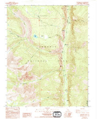
Editions of this 1988 Chagoopa Falls Map
2 editions found
Other maps of this area

1903 · Tehipite
USGS Topo · 1:125,000

1904 · Kaweah
USGS Topo · 1:125,000

1905 · Tehipite
USGS Topo · 1:125,000

1905 · Olancha
USGS Topo · 1:125,000

1907 · Olancha
USGS Topo · 1:125,000

1907 · Mt. Whitney
USGS Topo · 1:125,000

1909 · Kaweah
USGS Topo · 1:125,000

1919 · Mt. Whitney
USGS Topo · 1:125,000

1937 · Mt. Whitney
USGS Topo · 1:125,000

1937 · Kaweah
USGS Topo · 1:125,000