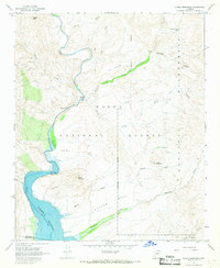
1967 Map of Chalk Mountain
USGS Topo · Published 1968About this map
Verde River waters flow through a canyon-heavy landscape where the central Arizona desert meets the southern reaches of the Mazatzal Wilderness. In the late 1960s, this area was defined by its water management and grazing infrastructure, notably the Horseshoe Reservoir at the southern boundary and the Sheep Bridge crossing upstream. The terrain is marked by prominent mesas like HK Mesa and Mullen Mesa, punctuated by scattered water sources such as Dutchman Grave Spring and Davenport Spring.
Find a feature on this map
29 named features on this map. Tap any name to fly to it.
Don’t see what you’re looking for? This feature index may not catch every label — zoom into the map to look around manually.
Map Details
Editions of this 1967 Chalk Mountain Map
3 editions found
Other maps of this area

1887 · Verde
USGS Topo · 1:250,000

1892 · Verde
USGS Topo · 1:250,000

1929 · Turret Peak
USGS Topo · 1:125,000

1930 · Cave Creek
USGS Topo · 1:125,000

1933 · Turret Peak
USGS Topo · 1:125,000

1939 · Cave Creek
USGS Topo · 1:125,000

1954 · Holbrook
USGS Topo · 1:250,000

1954 · Mesa
USGS Topo · 1:250,000

1957 · Mesa
USGS Topo · 1:250,000

1957 · Holbrook
USGS Topo · 1:250,000