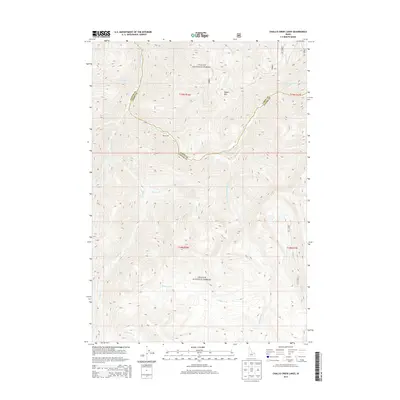
2013 Map of Challis Creek Lakes
USGS Topo · Published 2013About this map
Challis National Forest land dominates this high-altitude terrain along the border of Lemhi and Custer counties. The landscape is defined by the headwaters of numerous drainages, most notably the Yankee Fork and the S Fork Warm Spring Cr, which carve deep canyons between peaks like Parker Mtn. The presence of the Parker Mill site along Warm Spring Cr suggests the area's history of extraction and processing within these isolated mountain reaches. The complex network of creeks, including Trapper Cr and Wickiup Cr, highlights a topography shaped by seasonal runoff and historic trails through the central Idaho wilderness.
Find a feature on this map
21 named features on this map. Tap any name to fly to it.
Don’t see what you’re looking for? This feature index may not catch every label — zoom into the map to look around manually.
Map Details
Editions of this 2013 Challis Creek Lakes Map
This is the sole edition of this map. No revisions or reprints were ever made.
Other maps of this area

1919 · Custer
USGS Topo · 1:125,000

1922 · Custer
USGS Topo · 1:125,000

1929 · Bayhorse
USGS Topo · 1:125,000

1930 · Casto
USGS Topo · 1:125,000

1956 · Twin Peaks
USGS Topo · 1:62,500

1957 · Challis
USGS Topo · 1:250,000

1960 · Challis
USGS Topo · 1:250,000

1963 · Challis
USGS Topo · 1:250,000

1963 · Challis Creek Lakes
USGS Topo · 1:24,000

1963 · Custer
USGS Topo · 1:24,000