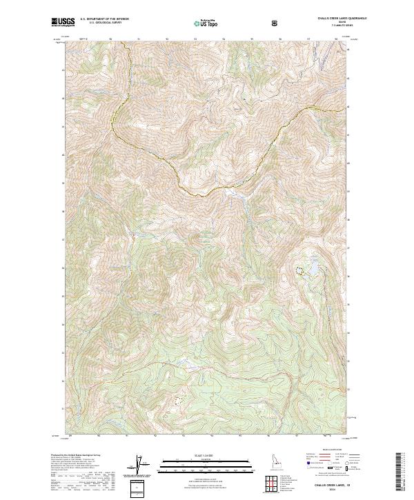
2024 Map of Challis Creek Lakes
USGS Topo · Published 2024About this map
Challis National Forest and the Frank Church-River of No Return Wilderness converge in this high-altitude landscape of central Idaho. The geography is defined by a dense network of watercourses, including the Yankee Fork and Twelvemile Creek, which have long influenced access to this interior wilderness. Historical travel routes are preserved in the form of trails like the East Mayfield-Yankee Fork Trail and the Warm Springs Creek Trail, marking paths through the Salmon River Mountains. At the eastern edge, the Challis Creek Lakes sit below the ridges, providing a focal point for the drainage of Challis Creek. The survey clearly delineates the Custer and Lemhi county line as it traverses the heights near Parker Mountain, showing how political boundaries were often drawn across the highest, most difficult terrain in the region.
Find a feature on this map
25 named features on this map. Tap any name to fly to it.
Don’t see what you’re looking for? This feature index may not catch every label — zoom into the map to look around manually.
Map Details
Editions of this 2024 Challis Creek Lakes Map
This is the sole edition of this map. No revisions or reprints were ever made.
Other maps of this area

1919 · Custer
USGS Topo · 1:125,000

1922 · Custer
USGS Topo · 1:125,000

1929 · Bayhorse
USGS Topo · 1:125,000

1930 · Casto
USGS Topo · 1:125,000

1956 · Twin Peaks
USGS Topo · 1:62,500

1957 · Challis
USGS Topo · 1:250,000

1960 · Challis
USGS Topo · 1:250,000

1963 · Challis
USGS Topo · 1:250,000

1963 · Challis Creek Lakes
USGS Topo · 1:24,000

1963 · Custer
USGS Topo · 1:24,000