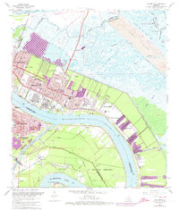
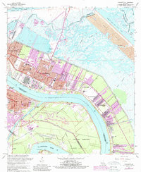
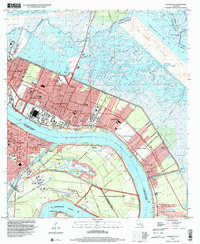
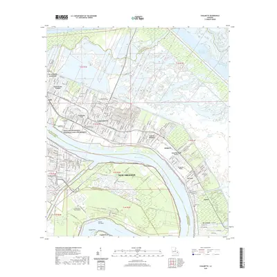
1967 Map of Chalmette
USGS Topo · Published 1973About this map
The Mississippi River defines the landscape of St. Bernard Parish, carving a wide arc past Chalmette and Meraux as it flows toward the Gulf. This era shows the intensive development of the riverfront, where the Southern Ry corridor and the Forty Arpent Canal parallel the water, supporting a dense network of suburban growth and industrial infrastructure. The map preserves the footprint of the Chalmette National Historical Park and the adjacent Chalmette National Cemetery, marking the site of significant local heritage.
Find a feature on this map
57 named features on this map. Tap any name to fly to it.
Don’t see what you’re looking for? This feature index may not catch every label — zoom into the map to look around manually.
Map Details
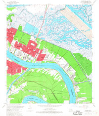
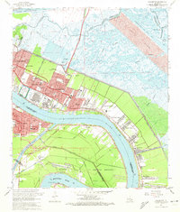
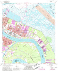
Editions of this 1967 Chalmette Map
7 editions found

Historical Maps of New Orleans Through Time
9 maps found
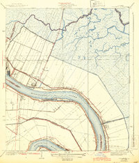
1939 Chalmette
St. Bernard Parish, LA
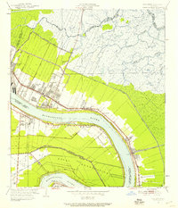
1951 Chalmette
St. Bernard Parish, LA
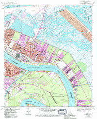
1967 Chalmette
St. Bernard Parish, LA
1998 Chalmette
St. Bernard Parish, LA
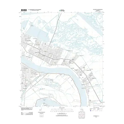
2012 Chalmette
St. Bernard Parish, LA
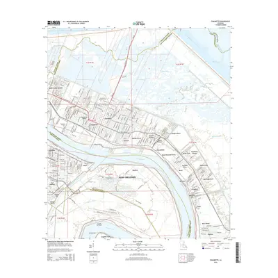
2015 Chalmette
St. Bernard Parish, LA
2018 Chalmette
St. Bernard Parish, LA
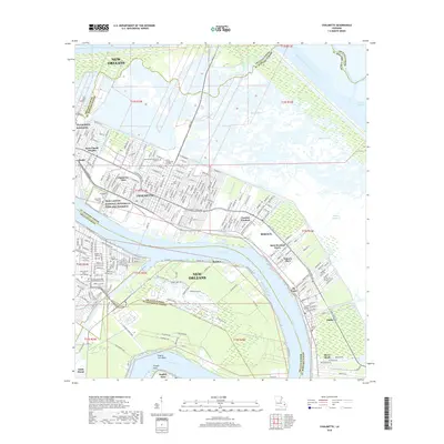
2020 Chalmette
St. Bernard Parish, LA
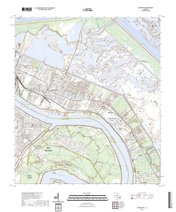
2024 Chalmette
St. Bernard Parish, LA