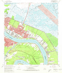
1967 Map of Chalmette
USGS Topo · Published 1972About this map
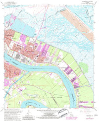
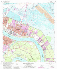
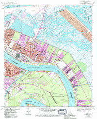
Chalmette and its surrounding communities are captured in the late 1960s as industrial development and suburban growth press against the marshy wetlands of St. Bernard Parish. The landscape is defined by the sweeping curves of the Mississippi River, where large refineries sit adjacent to historic landmarks like the Chalmette National Historical Park. Evidence of mid-century expansion is clear in residential subdivisions such as St Claude Heights and Chalmette Vista, while the Forty Arpent Levee remains a critical boundary between the inhabited riverfront and the vast Spoil Area of the Mississippi River-Gulf Outlet Canal. Cultural and educational institutions are well-established, including the Our Lady of Holy Cross College and Tulane University Research Laboratories, alongside local landmarks like the St Bernard Memorial Gardens and the Southern Railway corridor.
Find a feature on this map
62 named features on this map. Tap any name to fly to it.
Don’t see what you’re looking for? This feature index may not catch every label — zoom into the map to look around manually.
Map Details
Editions of this 1967 Chalmette Map
7 editions found
Other maps of this area

1891 · Spanish Fort
USGS Topo · 1:62,500

1891 · New Orleans
USGS Topo · 1:62,500

1892 · Chef Menteur
USGS Topo · 1:62,500

1892 · St. Bernard
USGS Topo · 1:62,500

1932 · New Orleans NE
USGS Topo · 1:31,680

1932 · New Orleans SE
USGS Topo · 1:31,680

1935 · Delacroix
USGS Topo · 1:31,680

1936 · Chef Menteur
USGS Topo · 1:62,500

1936 · Spanish Fort
USGS Topo · 1:62,500

1937 · Chef Menteur
USGS Topo · 1:31,680