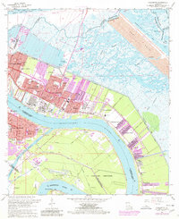
1967 Map of Chalmette
USGS Topo · Published 1980About this map
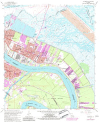
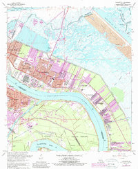
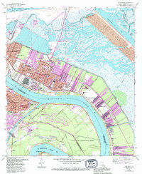
The Mississippi River defines the heart of this landscape, its banks lined with the industrial and residential growth of St. Bernard Parish. Suburban developments like Chalmette, Meraux, and St Claude Heights sit behind the protection of the levee, while a vast Spoil Area to the northeast marks the path of the Mississippi River - Gulf Outlet Canal. This canal system, including the Gulf Outlet Canal and Intracoastal Waterway, reflects the mid-century transformation of the regional hydrology for shipping and drainage.
Find a feature on this map
77 named features on this map. Tap any name to fly to it.
Don’t see what you’re looking for? This feature index may not catch every label — zoom into the map to look around manually.
Map Details
Editions of this 1967 Chalmette Map
7 editions found
Other maps of this area

1891 · Spanish Fort
USGS Topo · 1:62,500

1891 · New Orleans
USGS Topo · 1:62,500

1892 · Chef Menteur
USGS Topo · 1:62,500

1892 · St. Bernard
USGS Topo · 1:62,500

1932 · New Orleans NE
USGS Topo · 1:31,680

1932 · New Orleans SE
USGS Topo · 1:31,680

1935 · Delacroix
USGS Topo · 1:31,680

1936 · Chef Menteur
USGS Topo · 1:62,500

1936 · Spanish Fort
USGS Topo · 1:62,500

1937 · Chef Menteur
USGS Topo · 1:31,680