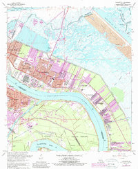
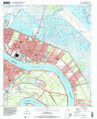
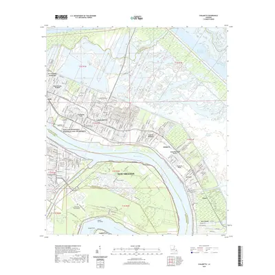
1967 Map of Chalmette
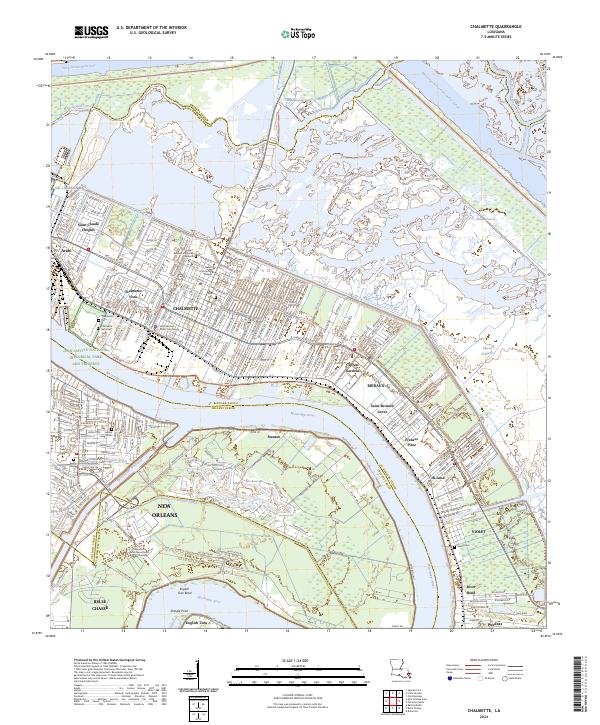
USGS Topo · Published 1989About this map
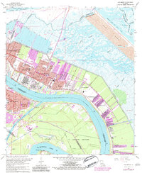
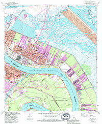
The Mississippi River creates a massive sweep through this coastal landscape, defining the industrial and residential development of St. Bernard Parish. Heavy industrial footprints including a large Refinery and a Sewage Disposal facility sit adjacent to growing mid-century neighborhoods like Chalmette and Meraux. The area's deep historical roots are evidenced by the Chalmette Nat Cem and the Jean Lafitte National Historical Park and Preserve, which preserve the grounds of the Battle of New Orleans. To the north, the Forty Arpent Canal and the Back Protection Levee mark the boundary between developed land and the marshy expanses of Bayou Bienvenue. The map records a dense network of local schools, from the Lacoste Sch to Our Lady of Holy Cross College, reflecting the suburban expansion into the lowlands before modern coastal changes.
Find a feature on this map
61 named features on this map. Tap any name to fly to it.
Don’t see what you’re looking for? This feature index may not catch every label — zoom into the map to look around manually.
Map Details
Editions of this 1967 Chalmette Map
7 editions found
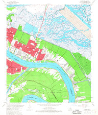
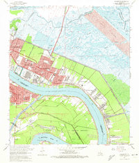
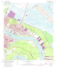

Historical Maps of New Orleans Through Time
9 maps found
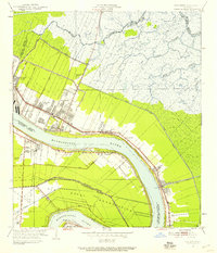
1939 Chalmette
St. Bernard Parish, LA
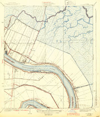
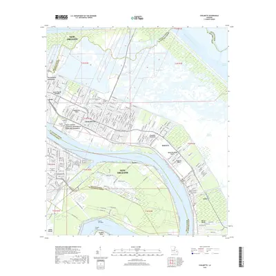
1951 Chalmette
St. Bernard Parish, LA
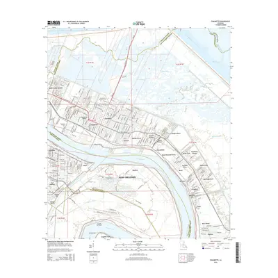
1967 Chalmette
St. Bernard Parish, LA
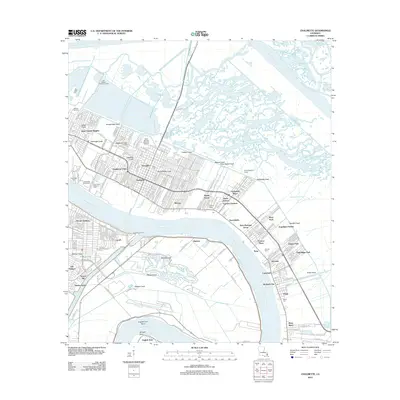
1998 Chalmette
St. Bernard Parish, LA
2012 Chalmette
St. Bernard Parish, LA
2015 Chalmette
St. Bernard Parish, LA
2018 Chalmette
St. Bernard Parish, LA
2020 Chalmette
St. Bernard Parish, LA
2024 Chalmette
St. Bernard Parish, LA