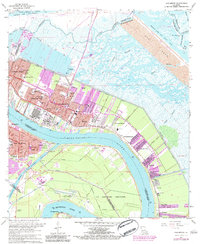
1967 Map of Chalmette
USGS Topo · Published 1984About this map
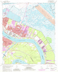
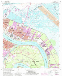
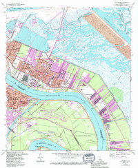
The Mississippi River bends sharply around the industrial and residential heart of St. Bernard Parish, anchoring a landscape shaped by historical defense and modern commerce. Along the river's edge, the Chalmette National Historical Park preserves a key site of American military history, while the surrounding communities of Chalmette, Meraux, and Violet reflect the mid-century expansion of the New Orleans suburbs. The infrastructure of the era is evident in the dense network of drainage and transport canals, including the Forty Arpent Canal and the massive Mississippi River - Gulf Outlet Canal, which carved new pathways through the surrounding marshlands.
Find a feature on this map
59 named features on this map. Tap any name to fly to it.
Don’t see what you’re looking for? This feature index may not catch every label — zoom into the map to look around manually.
Map Details
Editions of this 1967 Chalmette Map
7 editions found
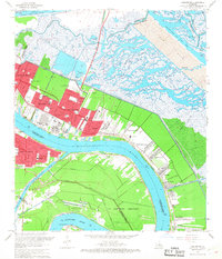
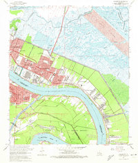
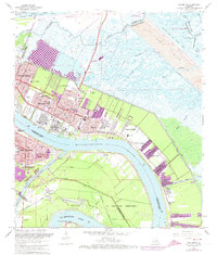
Other maps of this area

1891 · Spanish Fort
USGS Topo · 1:62,500

1891 · New Orleans
USGS Topo · 1:62,500

1892 · Chef Menteur
USGS Topo · 1:62,500

1892 · St. Bernard
USGS Topo · 1:62,500

1932 · New Orleans NE
USGS Topo · 1:31,680

1932 · New Orleans SE
USGS Topo · 1:31,680

1935 · Delacroix
USGS Topo · 1:31,680

1936 · Chef Menteur
USGS Topo · 1:62,500

1936 · Spanish Fort
USGS Topo · 1:62,500

1937 · Chef Menteur
USGS Topo · 1:31,680