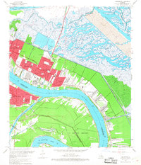
1967 Map of Chalmette
USGS Topo · Published 1968About this map
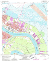
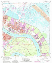
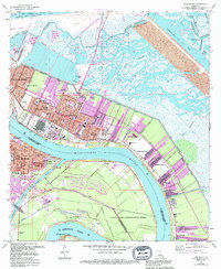
The Mississippi River creates a massive oxbow curve at the heart of this mid-1960s survey, dictating the development of Chalmette and its neighboring riverfront settlements. Industrial sites and residential expansion are visible in the growth of Chalmette Vista and Meraux, while the Forty Arpent Canal and Back Protection Levee mark the defensive boundaries against the surrounding marshland. The map provides a detailed view of the Chalmette National Historical Park and the extensive Spoil Area north of the Mississippi River - Gulf Outlet Canal.
Find a feature on this map
66 named features on this map. Tap any name to fly to it.
Don’t see what you’re looking for? This feature index may not catch every label — zoom into the map to look around manually.
Map Details
Editions of this 1967 Chalmette Map
7 editions found
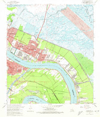
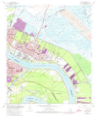
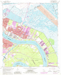
Other maps of this area

1891 · Spanish Fort
USGS Topo · 1:62,500

1891 · New Orleans
USGS Topo · 1:62,500

1892 · Chef Menteur
USGS Topo · 1:62,500

1892 · St. Bernard
USGS Topo · 1:62,500

1932 · New Orleans NE
USGS Topo · 1:31,680

1932 · New Orleans SE
USGS Topo · 1:31,680

1935 · Delacroix
USGS Topo · 1:31,680

1936 · Chef Menteur
USGS Topo · 1:62,500

1936 · Spanish Fort
USGS Topo · 1:62,500

1937 · Chef Menteur
USGS Topo · 1:31,680