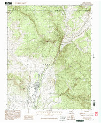
1983 Map of Chama
USGS Topo · Published 1983About this map
Chama sits at the heart of this 1983 provisional survey, positioned near the confluence of the Rio Chama and Rio Chamita. This mountain valley landscape is dominated by the expansive Tierra Amarilla Grant, illustrating the enduring legacy of land grant boundaries in northern New Mexico. The map details a transition from the structured street grid and rail-adjacent layout of the town to the surrounding high country, marked by features such as Rabbit Peak and the small settlement of Lobato further north. Notable local activity is evidenced by a Snowmobile Race Track just outside the main settlement, alongside industrial markers like a Gravel Pit. Drainage patterns are meticulously recorded, showing numerous tributaries including Wolf Creek, East Fork, and Little Willow Creek as they descend from the higher elevations of the Colorado-New Mexico border toward the valley floor.
Find a feature on this map
15 named features on this map. Tap any name to fly to it.
Don’t see what you’re looking for? This feature index may not catch every label — zoom into the map to look around manually.
Map Details
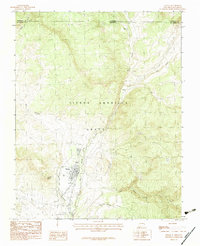
Editions of this 1983 Chama Map
2 editions found
Other maps of this area

1913 · Summitville
USGS Topo · 1:125,000

1915 · Summitville
USGS Topo · 1:125,000

1918 · Tusas
USGS Topo · 1:125,000

1922 · Conejos
USGS Topo · 1:125,000

1945 · Durango
USGS Topo · 1:250,000

1953 · Durango
USGS Topo · 1:250,000

1954 · Durango
USGS Topo · 1:250,000

1954 · Aztec
USGS Topo · 1:250,000

1955 · Chama
USGS Topo · 1:62,500

1955 · Brazos Peak
USGS Topo · 1:62,500