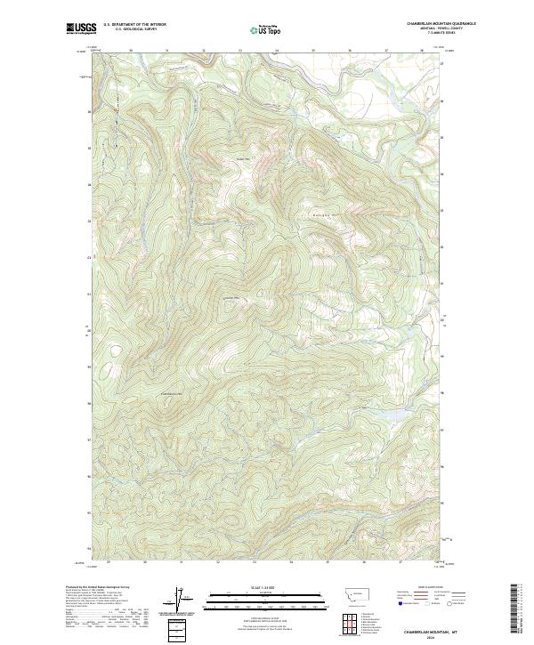
2024 Map of Chamberlain Mountain
USGS Topo · Published 2024About this map
The Blackfoot Valley Conservation Area dominates this section of the Montana high country, where the Blackfoot River carves through a landscape defined by prominent peaks. High points like Chamberlain Mtn, Granite Mtn, and Dunigan Mtn shape the drainage patterns of the region's complex creek systems. The watershed is articulated by Chamberlain Creek, East Fork Chamberlain Creek, and Pearson Creek, which flow northward toward the river valley.
Find a feature on this map
25 named features on this map. Tap any name to fly to it.
Don’t see what you’re looking for? This feature index may not catch every label — zoom into the map to look around manually.
Map Details
Editions of this 2024 Chamberlain Mountain Map
This is the sole edition of this map. No revisions or reprints were ever made.
Other maps of this area

1902 · Ovando
USGS Topo · 1:125,000

1905 · Ovando
USGS Topo · 1:125,000

1919 · Drummond
USGS Topo · 1:125,000

1921 · Drummond
USGS Topo · 1:125,000

1947 · Butte
USGS Topo · 1:250,000

1955 · Choteau
USGS Topo · 1:250,000

1957 · Choteau
USGS Topo · 1:250,000

1958 · Butte
USGS Topo · 1:250,000

1958 · Choteau
USGS Topo · 1:250,000

1960 · Butte
USGS Topo · 1:250,000