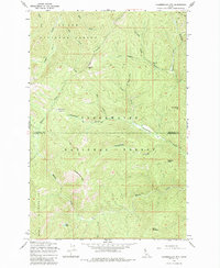
1965 Map of Chamberlain Mtn
USGS Topo · Published 1985About this map
Chamberlain Mtn anchors this mid-century survey of the high country straddling the border of Shoshone and Clearwater counties. The landscape is defined by the transition between the St Joe National Forest to the north and the Clearwater National Forest to the south. A network of Pack Trails provides the primary means of navigation through the steep drainages of Caledonia Creek and Placer Creek, reflecting an era before extensive road development in these remote reaches of the Bitterroot range.
Find a feature on this map
25 named features on this map. Tap any name to fly to it.
Don’t see what you’re looking for? This feature index may not catch every label — zoom into the map to look around manually.
Map Details
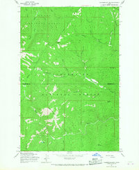
Editions of this 1965 Chamberlain Mtn Map
2 editions found
Other maps of this area

1911 · Lolo
USGS Topo · 1:250,000

1913 · Lolo
USGS Topo · 1:250,000

1918 · St Regis
USGS Topo · 1:125,000

1919 · St. Regis
USGS Topo · 1:125,000

1956 · Wallace
USGS Topo · 1:250,000

1956 · Hamilton
USGS Topo · 1:250,000

1957 · Illinois Peak
USGS Topo · 1:62,500

1957 · Simmons Peak
USGS Topo · 1:62,500

1959 · Hamilton
USGS Topo · 1:250,000

1960 · Wallace
USGS Topo · 1:250,000