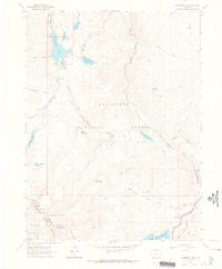
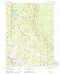
1962 Map of Chambers Lake
USGS Topo · Published 1965About this map
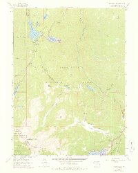
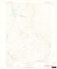
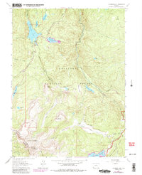
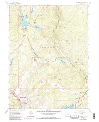
Chambers Lake and its surrounding water management systems anchor this high-elevation landscape in the early 1960s. The map illustrates the complex plumbing of the Front Range, featuring the Skyline Ditch and Michigan Ditch which divert water across the continental divide. These man-made features weave through the Roosevelt National Forest alongside significant reservoirs like Joe Wright Reservoir and Barnes Meadow Reservoir. This era reflects a period of established recreation and resource management, with Chambers Lake Campground providing access for visitors and the Corral Park Cow Camp indicating continued grazing activity in the meadows. The high peaks of the Never Summer Mountains and landmarks like Bald Mountain dominate the terrain, while the headwaters of the Cache la Poudre River begin their descent toward the plains.
Find a feature on this map
51 named features on this map. Tap any name to fly to it.
Don’t see what you’re looking for? This feature index may not catch every label — zoom into the map to look around manually.
Map Details
Editions of this 1962 Chambers Lake Map
9 editions found
Other maps of this area

1915 · Longs Peak
USGS Topo · 1:125,000

1916 · Home
USGS Topo · 1:125,000

1919 · Rocky Mountain National Park
USGS Topo · 1:125,000

1920 · Home
USGS Topo · 1:125,000

1954 · Greeley
USGS Topo · 1:250,000

1957 · Greeley
USGS Topo · 1:250,000

1957 · Trail Ridge
USGS Topo · 1:24,000

1957 · Mount Richthofen
USGS Topo · 1:24,000

1958 · Greeley
USGS Topo · 1:250,000
1958 · Fall River Pass
USGS Topo · 1:24,000