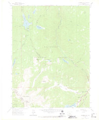
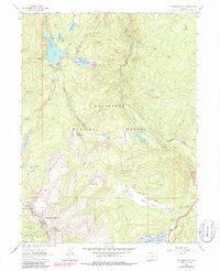
1962 Map of Chambers Lake
USGS Topo · Published 1968About this map
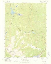
Chambers Lake serves as a central landmark in this high-altitude landscape where the headwaters of the Cache la Poudre River and Joe Wright Creek are managed through an intricate system of reservoirs and ditches. The presence of the Skyline Ditch and Michigan Ditch illustrates the early 20th-century engineering required to divert water across the Continental Divide. These waterworks are surrounded by the heavily timbered lands of the Roosevelt National Forest and Routt National Forest, with a small portion of Rocky Mtn Nat Park visible in the southeast. Historical land use is evident at the Corral Park Cow Camp, while established recreation sites like Chambers Lake Campground and Long Draw Campground indicate the area's transition into a seasonal destination. High peaks such as Bald Mountain and Iron Mountain anchor the terrain, which is crisscrossed by historic routes including the Green Ridge Trail and Flowers Trail.
Find a feature on this map
44 named features on this map. Tap any name to fly to it.
Don’t see what you’re looking for? This feature index may not catch every label — zoom into the map to look around manually.
Map Details
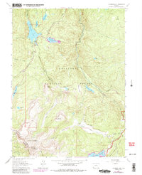
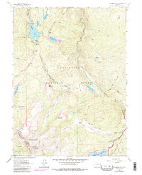
Editions of this 1962 Chambers Lake Map
9 editions found
Other maps of this area

1915 · Longs Peak
USGS Topo · 1:125,000

1916 · Home
USGS Topo · 1:125,000

1919 · Rocky Mountain National Park
USGS Topo · 1:125,000

1920 · Home
USGS Topo · 1:125,000

1954 · Greeley
USGS Topo · 1:250,000

1957 · Greeley
USGS Topo · 1:250,000

1957 · Trail Ridge
USGS Topo · 1:24,000

1957 · Mount Richthofen
USGS Topo · 1:24,000

1958 · Greeley
USGS Topo · 1:250,000
1958 · Fall River Pass
USGS Topo · 1:24,000