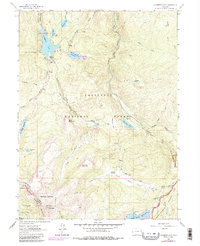
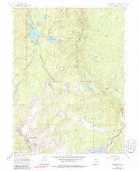
1962 Map of Chambers Lake
USGS Topo · Published 1985About this map
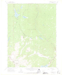
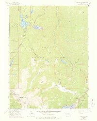
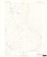
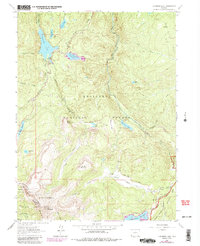
Chambers Lake serves as a central hub for water management and recreation within the Roosevelt National Forest, captured here as it appeared in the mid-20th century. The complex alpine hydrology of the Front Range is evident through the network of ditches and reservoirs, including the Skyline Ditch and the Joe Wright Reservoir. These man-made diversions, alongside the Michigan Ditch, highlight the historical engineering efforts required to move water across the Continental Divide and toward lower-lying communities.
Find a feature on this map
54 named features on this map. Tap any name to fly to it.
Don’t see what you’re looking for? This feature index may not catch every label — zoom into the map to look around manually.
Map Details
Editions of this 1962 Chambers Lake Map
9 editions found
Other maps of this area

1915 · Longs Peak
USGS Topo · 1:125,000

1916 · Home
USGS Topo · 1:125,000

1919 · Rocky Mountain National Park
USGS Topo · 1:125,000

1920 · Home
USGS Topo · 1:125,000

1954 · Greeley
USGS Topo · 1:250,000

1957 · Greeley
USGS Topo · 1:250,000

1957 · Trail Ridge
USGS Topo · 1:24,000

1957 · Mount Richthofen
USGS Topo · 1:24,000

1958 · Greeley
USGS Topo · 1:250,000
1958 · Fall River Pass
USGS Topo · 1:24,000