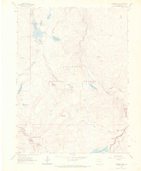
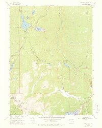
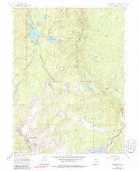
1962 Map of Chambers Lake
USGS Topo · Published 1968About this map
Chambers Lake and its surrounding water systems define this high-altitude landscape where the headwaters of the Laramie River and the Cache la Poudre River nearly meet. In the early 1960s, the area's hydrology was heavily managed by features like the Skyline Ditch and the Michigan Ditch, which redirected vital water resources across the continental divide. These man-made diversions contrast with the primitive Green Ridge Trail and Blue Lake Trail (Pack) that served the recreational and livestock needs of the region. The presence of the Corral Park Cow Camp highlights the seasonal ranching history of the Roosevelt National Forest, while various reservoirs like Long Draw Reservoir and Joe Wright Reservoir illustrate the post-war expansion of storage infrastructure. From the heights of Bald Mountain to the depths of Box Canyon, the map traces the intersection of public forest management and regional water development.
Find a feature on this map
51 named features on this map. Tap any name to fly to it.
Don’t see what you’re looking for? This feature index may not catch every label — zoom into the map to look around manually.
Map Details
Editions of this 1962 Chambers Lake Map
9 editions found
Other maps of this area

1915 · Longs Peak
USGS Topo · 1:125,000

1916 · Home
USGS Topo · 1:125,000

1919 · Rocky Mountain National Park
USGS Topo · 1:125,000

1920 · Home
USGS Topo · 1:125,000

1954 · Greeley
USGS Topo · 1:250,000

1957 · Greeley
USGS Topo · 1:250,000

1957 · Trail Ridge
USGS Topo · 1:24,000

1957 · Mount Richthofen
USGS Topo · 1:24,000

1958 · Greeley
USGS Topo · 1:250,000
1958 · Fall River Pass
USGS Topo · 1:24,000