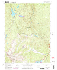
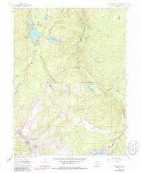
1962 Map of Chambers Lake
USGS Topo · Published 1985About this map
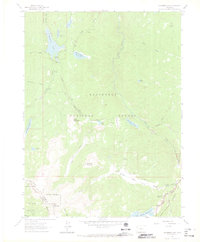
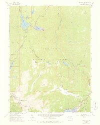
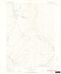
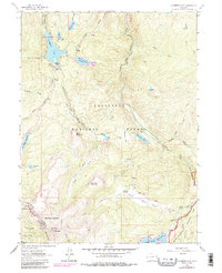
Chambers Lake and its surrounding water systems define this 1962 landscape in northern Colorado, where the high-altitude divide separates major drainage basins. This area showcases an intricate network of water management features, most notably the Michigan Ditch and several significant impoundments including Joe Wright Reservoir and Barnes Meadow Reservoir. The map illustrates a transition from the Roosevelt National Forest into the northern reaches of Rocky Mountain National Park, with the Larimer and Jackson County line marking the western boundary. Recreation and infrastructure are woven through the timberline, evidenced by the Green Ridge Trail and the remote Trap Park Road. Natural landmarks like Bald Mountain and Flat Top Mountain overlook the headwaters of the Cache la Poudre River and the northward-flowing Laramie River.
Find a feature on this map
33 named features on this map. Tap any name to fly to it.
Don’t see what you’re looking for? This feature index may not catch every label — zoom into the map to look around manually.
Map Details
Editions of this 1962 Chambers Lake Map
9 editions found
Other maps of this area

1915 · Longs Peak
USGS Topo · 1:125,000

1916 · Home
USGS Topo · 1:125,000

1919 · Rocky Mountain National Park
USGS Topo · 1:125,000

1920 · Home
USGS Topo · 1:125,000

1954 · Greeley
USGS Topo · 1:250,000

1957 · Greeley
USGS Topo · 1:250,000

1957 · Trail Ridge
USGS Topo · 1:24,000

1957 · Mount Richthofen
USGS Topo · 1:24,000

1958 · Greeley
USGS Topo · 1:250,000
1958 · Fall River Pass
USGS Topo · 1:24,000