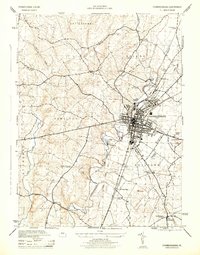
1944 Map of Chambersburg
USGS Topo · Published 1944About this map
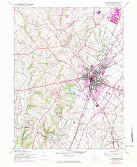
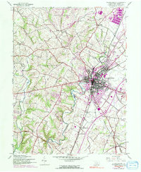
Chambersburg serves as the central hub of this 1944 survey, where the Pennsylvania and Western Maryland railroads intersect amidst a landscape of manufacturing and agriculture. The industrial presence of the U S Paper Mill sits along the banks of the Conococheague Creek, while the sprawling military installation at Letterkenny occupies the northern reaches of the quadrangle. This era shows a community deeply integrated with its infrastructure, from the Chambersburg Airport in Guilford to the numerous rural schoolhouses like Portico School and Mt Zion School that served the outlying townships.
Find a feature on this map
34 named features on this map. Tap any name to fly to it.
Don’t see what you’re looking for? This feature index may not catch every label — zoom into the map to look around manually.
Map Details
Editions of this 1944 Chambersburg Map
6 editions found
Other maps of this area

1900 · Mercersburg
USGS Topo · 1:62,500

1902 · Chambersburg
USGS Topo · 1:62,500

1902 · Mercersburg
USGS Topo · 1:62,500

1923 · Shippensburg
USGS Topo · 1:62,500

1939 · Orbisonia
USGS Topo · 1:62,500

1940 · Orbisonia
USGS Topo · 1:62,500

1942 · Hagerstown
USGS Topo · 1:125,000

1943 · Hagerstown
USGS Topo · 1:125,000

1943 · Chambersburg
USGS Topo · 1:62,500

1943 · Mercersburg
USGS Topo · 1:62,500
Featured Places
- Chambersburg, PA
- Guilford Township, PA
- Hamilton Township, PA
- Cheesetown, Hamilton Township
- Letterkenny Township, PA