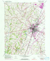
1944 Map of Chambersburg
USGS Topo · Published 1991About this map
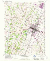
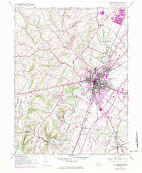
Chambersburg serves as the focal point of this Franklin County landscape, where the convergence of the Penn Central, Maryland, and Western railroads shaped the town's industrial and commercial character. To the north, the sprawling infrastructure of the Letterkenny Army Depot reflects the significant military presence that transformed the region during the mid-20th century. The rural surroundings are dotted with smaller settlements like Stoufferstown and Guilford Springs, and the land is drained by the winding Conococheague Creek and its many tributaries, such as Wilson Run and Falling Spring Branch.
Find a feature on this map
39 named features on this map. Tap any name to fly to it.
Don’t see what you’re looking for? This feature index may not catch every label — zoom into the map to look around manually.
Map Details
Editions of this 1944 Chambersburg Map
6 editions found
Other maps of this area

1900 · Mercersburg
USGS Topo · 1:62,500

1902 · Chambersburg
USGS Topo · 1:62,500

1902 · Mercersburg
USGS Topo · 1:62,500

1923 · Shippensburg
USGS Topo · 1:62,500

1939 · Orbisonia
USGS Topo · 1:62,500

1940 · Orbisonia
USGS Topo · 1:62,500

1942 · Hagerstown
USGS Topo · 1:125,000

1943 · Hagerstown
USGS Topo · 1:125,000

1943 · Chambersburg
USGS Topo · 1:62,500

1943 · Mercersburg
USGS Topo · 1:62,500
Featured Places
- Chambersburg, PA
- Guilford Township, PA
- Hamilton Township, PA
- Cheesetown, Hamilton Township
- Letterkenny Township, PA