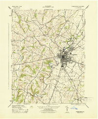
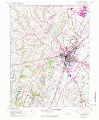
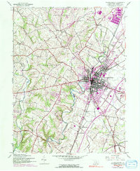
1944 Map of Chambersburg
USGS Topo · Published 1944About this map
The borough of Chambersburg serves as a dense rail and industrial hub in the Cumberland Valley during the mid-1940s. The town's grid is bisected by the Pennsylvania Railroad and the Western Maryland Railroad, illustrating its historical importance as a transit junction. Surrounding the urban center, the landscape transitions into a mix of agricultural land and military reservations, most notably the edge of the Letterkenny ordnance depot area to the north.
Find a feature on this map
36 named features on this map. Tap any name to fly to it.
Don’t see what you’re looking for? This feature index may not catch every label — zoom into the map to look around manually.
Map Details
Editions of this 1944 Chambersburg Map
6 editions found
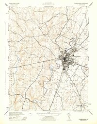
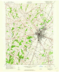
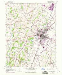
Other maps of this area

1900 · Mercersburg
USGS Topo · 1:62,500

1902 · Chambersburg
USGS Topo · 1:62,500

1902 · Mercersburg
USGS Topo · 1:62,500

1923 · Shippensburg
USGS Topo · 1:62,500

1939 · Orbisonia
USGS Topo · 1:62,500

1940 · Orbisonia
USGS Topo · 1:62,500

1942 · Hagerstown
USGS Topo · 1:125,000

1943 · Hagerstown
USGS Topo · 1:125,000

1943 · Chambersburg
USGS Topo · 1:62,500

1943 · Mercersburg
USGS Topo · 1:62,500
Featured Places
- Chambersburg, PA
- Guilford Township, PA
- Hamilton Township, PA
- Cheesetown, Hamilton Township
- Letterkenny Township, PA