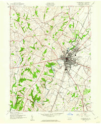
1944 Map of Chambersburg
USGS Topo · Published 1960About this map
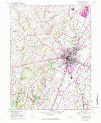
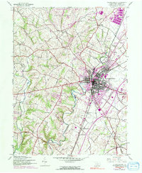
Chambersburg serves as the focal point of this wartime survey, showing a developed urban core at the confluence of the Pennsylvania and Western Maryland railroads. The town is surrounded by a network of rural schoolhouses and small communities, including Stoufferstown to the east and the small settlement of New Franklin to the south. The landscape is defined by the winding path of Conococheague Creek and its tributaries like Back Creek and Wilson Run, which carved the terrain long before the industrial expansion shown here.
Find a feature on this map
32 named features on this map. Tap any name to fly to it.
Don’t see what you’re looking for? This feature index may not catch every label — zoom into the map to look around manually.
Map Details
Editions of this 1944 Chambersburg Map
6 editions found
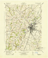
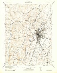
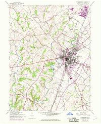
Other maps of this area

1900 · Mercersburg
USGS Topo · 1:62,500

1902 · Chambersburg
USGS Topo · 1:62,500

1902 · Mercersburg
USGS Topo · 1:62,500

1923 · Shippensburg
USGS Topo · 1:62,500

1939 · Orbisonia
USGS Topo · 1:62,500

1940 · Orbisonia
USGS Topo · 1:62,500

1942 · Hagerstown
USGS Topo · 1:125,000

1943 · Hagerstown
USGS Topo · 1:125,000

1943 · Chambersburg
USGS Topo · 1:62,500

1943 · Mercersburg
USGS Topo · 1:62,500
Featured Places
- Chambersburg, PA
- Guilford Township, PA
- Hamilton Township, PA
- Cheesetown, Hamilton Township
- Letterkenny Township, PA