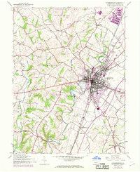
1944 Map of Chambersburg
USGS Topo · Published 1969About this map
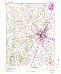
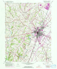
Chambersburg serves as the central hub of this Franklin County landscape, where the confluence of rail and road infrastructure meets a largely agricultural interior. The town's grid is dominated by the Penn Central and Maryland and Western railroad corridors, which support industrial sites and transit toward outlying settlements like Culbertson Sta and New Franklin. To the north, the massive footprint of the Letterkenny Army Depot marks a significant military presence established during the mid-20th century, contrasting with the scattered rural schoolhouses such as Portico Sch and South Hamilton Sch. The drainage of Conococheague Creek and Falling Spring Branch shapes the valley floor, providing a backdrop for local landmarks like the County Home and the Chambersburg Airport. Distinctive small communities, including the curiously named Turkeyfoot and Social Island, remain as evidence of older settlement patterns along the region's winding creeks.
Find a feature on this map
37 named features on this map. Tap any name to fly to it.
Don’t see what you’re looking for? This feature index may not catch every label — zoom into the map to look around manually.
Map Details
Editions of this 1944 Chambersburg Map
6 editions found
Other maps of this area

1900 · Mercersburg
USGS Topo · 1:62,500

1902 · Chambersburg
USGS Topo · 1:62,500

1902 · Mercersburg
USGS Topo · 1:62,500

1923 · Shippensburg
USGS Topo · 1:62,500

1939 · Orbisonia
USGS Topo · 1:62,500

1940 · Orbisonia
USGS Topo · 1:62,500

1942 · Hagerstown
USGS Topo · 1:125,000

1943 · Hagerstown
USGS Topo · 1:125,000

1943 · Chambersburg
USGS Topo · 1:62,500

1943 · Mercersburg
USGS Topo · 1:62,500
Featured Places
- Chambersburg, PA
- Guilford Township, PA
- Hamilton Township, PA
- Cheesetown, Hamilton Township
- Letterkenny Township, PA