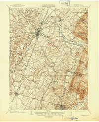
1902 Map of Chambersburg
USGS Topo · Published 1945About this map
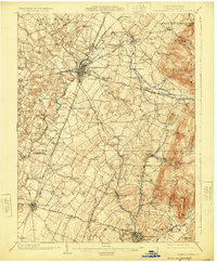
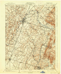
The Chambersburg rail hub and surrounding Franklin County townships emerge in this 1900 survey, revealing a landscape defined by industrial expansion and productive limestone valleys. The borough serves as a nexus for several major lines, including the Cumberland Valley R. R. and the Chambersburg and Gettysburg Electric R. R., which facilitated the movement of goods and passengers between smaller settlements like Stoufferstown and Fayetteville. To the east, the steep rise of Montalto Mtn. and Rocky Mountain provides a sharp geological contrast to the valley floor.
Find a feature on this map
80 named features on this map. Tap any name to fly to it.
Don’t see what you’re looking for? This feature index may not catch every label — zoom into the map to look around manually.
Map Details
Editions of this 1902 Chambersburg Map
7 editions found
Other maps of this area

1900 · Mercersburg
USGS Topo · 1:62,500

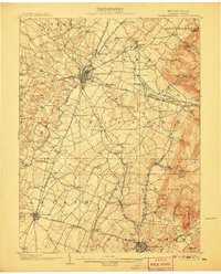
1902 · Chambersburg
USGS Topo · 1:62,500

1902 · Mercersburg
USGS Topo · 1:62,500

1909 · Fairfield
USGS Topo · 1:62,500

1909 · Hagerstown
USGS Topo · 1:48,000

1911 · Emmitsburg
USGS Topo · 1:62,500

1912 · Hagerstown
USGS Topo · 1:62,500

1912 · Williamsport
USGS Topo · 1:62,500

1919 · Newville
USGS Topo · 1:62,500

1923 · Shippensburg
USGS Topo · 1:62,500