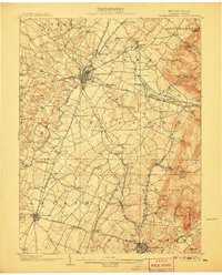
1902 Map of Chambersburg
USGS Topo · Published 1907About this map
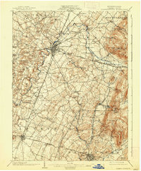
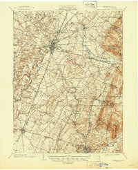
Chambersburg serves as the central hub of this early twentieth-century landscape, where the Cumberland Valley R. R. and Western Maryland R. R. converge. The survey illustrates a well-developed network of pikes, including the Mc Connellsburg Pike and Gettysburg Pike, connecting established boroughs to smaller settlements like Stoufferstown and Scotland. To the east, the terrain rises sharply into the South Mountain range, marked by features such as Rocky Mountain and Quincy Mt.. This highland area is dotted with specialized sites like Montalto Park and several vital water sources, including the Shippensburg Reservoir. The presence of numerous sidings and junctions, such as Guilford Siding and Montalto Junction, reflects a period of intense rail-driven commerce. Geographers also noted local landmarks like Grindstone Hill and Pond Bank, providing rich detail for researchers of Franklin County history.
Find a feature on this map
107 named features on this map. Tap any name to fly to it.
Don’t see what you’re looking for? This feature index may not catch every label — zoom into the map to look around manually.
Map Details
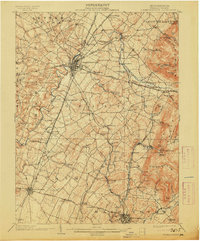
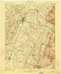
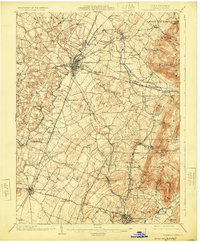
Editions of this 1902 Chambersburg Map
7 editions found
Other maps of this area

1900 · Mercersburg
USGS Topo · 1:62,500

1902 · Chambersburg
USGS Topo · 1:62,500

1902 · Mercersburg
USGS Topo · 1:62,500

1909 · Fairfield
USGS Topo · 1:62,500

1909 · Hagerstown
USGS Topo · 1:48,000

1911 · Emmitsburg
USGS Topo · 1:62,500

1912 · Hagerstown
USGS Topo · 1:62,500

1912 · Williamsport
USGS Topo · 1:62,500

1919 · Newville
USGS Topo · 1:62,500

1923 · Shippensburg
USGS Topo · 1:62,500