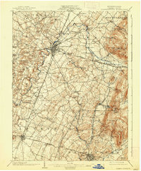
1902 Map of Chambersburg
USGS Topo · Published 1938About this map
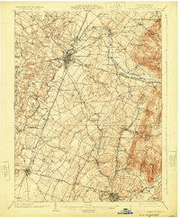
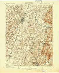
Chambersburg serves as the focal point of this 1900 survey, a hub of transit and commerce where the Cumberland Valley RR, Western Maryland RR, and the Chambersburg Electric RR converge. The landscape is defined by the winding course of Conococheague Creek and its many tributaries, which supported early industries at sites like Browns Mills. The eastern boundary is marked by the steep rise of Montalto Mtn. and Rocky Mountain, creating a natural barrier that funneled settlement and transport through the valley floor.
Find a feature on this map
91 named features on this map. Tap any name to fly to it.
Don’t see what you’re looking for? This feature index may not catch every label — zoom into the map to look around manually.
Map Details
Editions of this 1902 Chambersburg Map
7 editions found
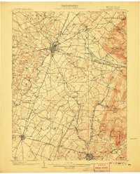
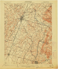
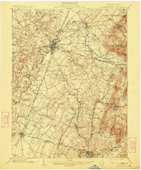
Other maps of this area

1900 · Mercersburg
USGS Topo · 1:62,500

1902 · Chambersburg
USGS Topo · 1:62,500

1902 · Mercersburg
USGS Topo · 1:62,500

1909 · Fairfield
USGS Topo · 1:62,500

1909 · Hagerstown
USGS Topo · 1:48,000

1911 · Emmitsburg
USGS Topo · 1:62,500

1912 · Hagerstown
USGS Topo · 1:62,500

1912 · Williamsport
USGS Topo · 1:62,500

1919 · Newville
USGS Topo · 1:62,500

1923 · Shippensburg
USGS Topo · 1:62,500