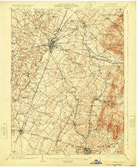
1902 Map of Chambersburg
USGS Topo · Published 1925About this map
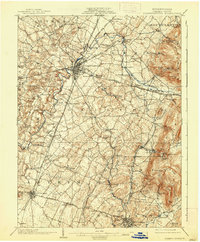
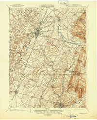
Chambersburg serves as the central hub for a complex network of turnpikes and rail lines at the turn of the century. The Cumberland Valley Railroad and Western Maryland Railroad anchor the local economy, connecting agricultural and industrial points like Marion Sta. and Guilford Siding. To the east, the landscape transitions toward the South Mountain range, where small settlements such as Fayetteville and Slabtown sit near the base of slopes like Sandy Ridge and Monnallo Mtn..
Find a feature on this map
95 named features on this map. Tap any name to fly to it.
Don’t see what you’re looking for? This feature index may not catch every label — zoom into the map to look around manually.
Map Details
Editions of this 1902 Chambersburg Map
7 editions found
Other maps of this area

1900 · Mercersburg
USGS Topo · 1:62,500

1902 · Chambersburg
USGS Topo · 1:62,500

1902 · Mercersburg
USGS Topo · 1:62,500

1909 · Fairfield
USGS Topo · 1:62,500

1909 · Hagerstown
USGS Topo · 1:48,000

1911 · Emmitsburg
USGS Topo · 1:62,500

1912 · Hagerstown
USGS Topo · 1:62,500

1912 · Williamsport
USGS Topo · 1:62,500

1919 · Newville
USGS Topo · 1:62,500

1923 · Shippensburg
USGS Topo · 1:62,500