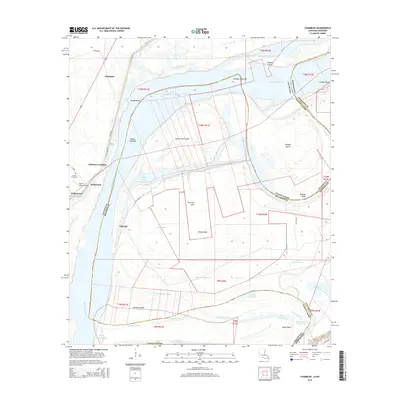
2015 Map of Chamblee
USGS Topo · Published 2015About this map
The Mississippi River meanders through this section of the Louisiana-Mississippi border, creating a complex landscape of oxbow lakes, chutes, and islands within Tensas Parish and Jefferson County. Significant water features like Bell Cow Lake, Brushy Lake, and the Rodney Cutoff illustrate the river's historical shifting course and the formation of numerous sloughs and bayous. The settlement of Waterproof sits near the western edge of the quadrangle, serving as a focal point alongside smaller communities like Chamblee, Ashland, and Hedgeland.
Find a feature on this map
54 named features on this map. Tap any name to fly to it.
Don’t see what you’re looking for? This feature index may not catch every label — zoom into the map to look around manually.
Map Details
Editions of this 2015 Chamblee Map
This is the sole edition of this map. No revisions or reprints were ever made.
Other maps of this area

1909 · Delta Bridge
USGS Topo · 1:24,000

1909 · Lake Bruen
USGS Topo · 1:24,000

1921 · Natchez
USGS Topo · 1:48,000

1922 · Natchez
USGS Topo · 1:62,500

1939 · Lorman
USGS Topo · 1:62,500

1939 · Natchez
USGS Topo · 1:62,500

1939 · Locust Ridge
USGS Topo · 1:62,500

1953 · Natchez
USGS Topo · 1:250,000

1956 · Natchez
USGS Topo · 1:250,000

1958 · St. Joseph
USGS Topo · 1:62,500