
1955 Map of Champion
USGS Topo · Published 1956About this map
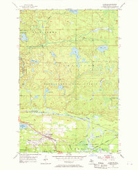
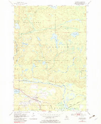
Champion and Beacon serve as the primary hubs of activity in this mid-1950s depiction of Marquette County, situated along the southern shore of Lake Michigamme. The landscape is defined by the intersection of industrial transport and conservation, where the Duluth South Shore and Atlantic Railroad and the Chicago and North Western lines converge near the town sites. Beyond the rail corridors, the terrain transitions into the Michigamme State Forest and Champion State Forest, a wilderness of scattered water bodies like Wolf Lake and Log Lake. Local genealogy is anchored by landmarks such as Sacred Heart Cem, while smaller settlements like Martins Landing, Wabie, and Clowry mark the outer edges of human residence. The presence of several gravel pits near the rail lines suggests a landscape still being shaped by local extraction and the maintenance of the transportation network.
Find a feature on this map
32 named features on this map. Tap any name to fly to it.
Don’t see what you’re looking for? This feature index may not catch every label — zoom into the map to look around manually.
Map Details
Editions of this 1955 Champion Map
Other maps of this area

1899 · Witbeck
USGS Topo · 1:62,500

1955 · Diorite
USGS Topo · 1:24,000

1955 · Witch Lake NE
USGS Topo · 1:24,000

1955 · Greenwood
USGS Topo · 1:24,000

1955 · Republic
USGS Topo · 1:62,500

1955 · Republic
USGS Topo · 1:24,000

1955 · Witch Lake
USGS Topo · 1:62,500

1955 · Champion
USGS Topo · 1:62,500

1956 · Michigamme
USGS Topo · 1:62,500

1956 · Michigamme
USGS Topo · 1:24,000