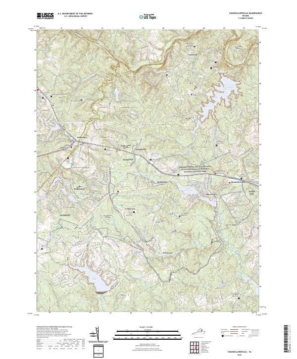
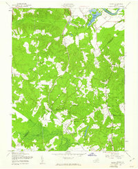
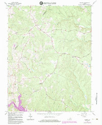
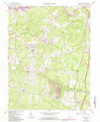
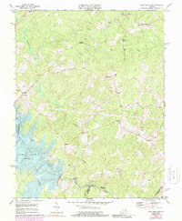
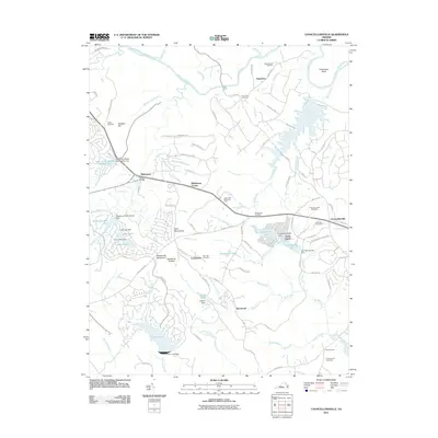
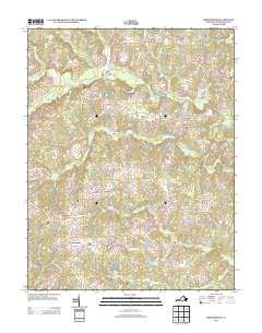
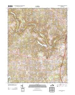
2022 Map of Chancellorsville
USGS Topo · Published 2022About this map
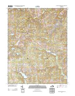
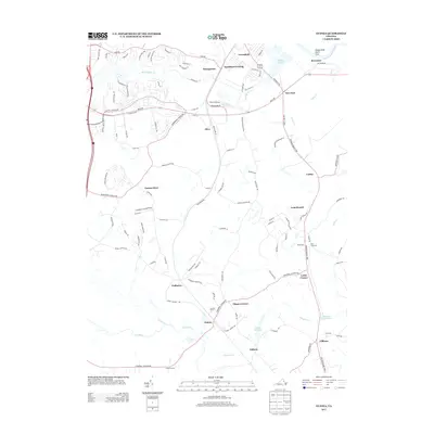
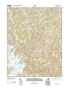
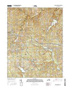
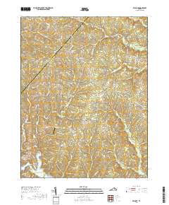
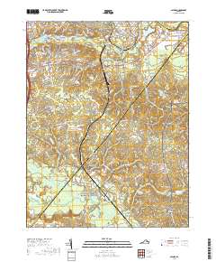
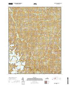
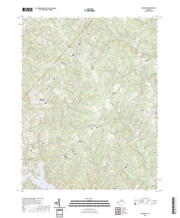
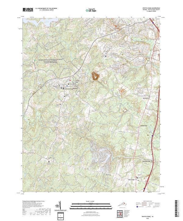
The Civil War landscape of northern Spotsylvania County remains prominently memorialized in this modern topographic survey, dominated by the expansive Fredericksburg and Spotsylvania County Battlefields Memorial National Military Park. The map documents the preserved grounds of the 1863 conflict, including The Battle of Chancellorsville Memorial Park and the site of Hazel Grove. The terrain is characterized by the winding Rapidan River and numerous drainages like Wilderness Run and Mine Run that shaped the historic military maneuvers.
Find a feature on this map
197 named features on this map. Tap any name to fly to it.
Don’t see what you’re looking for? This feature index may not catch every label — zoom into the map to look around manually.
Map Details
Editions of this 2022 Chancellorsville Map
This is the sole edition of this map. No revisions or reprints were ever made.
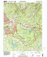
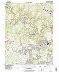
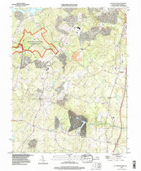
Historical Maps of Lake of the Woods Through Time
60 maps found

1887 Spottsylvania
Spotsylvania County, VA
1892 Spotsylvania
Spotsylvania County, VA
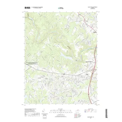
1942 Belmont
Spotsylvania County, VA
1942 Brokenburg
Spotsylvania County, VA

1942 Guinea
Spotsylvania County, VA
1942 Partlow
Spotsylvania County, VA
1942 Spotsylvania
Spotsylvania County, VA

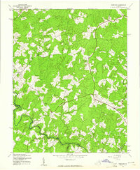
1943 Chancellorsville
Spotsylvania County, VA

1943 Salem Church
Spotsylvania County, VA
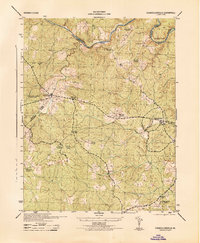
1944 Chancellorsville
Spotsylvania County, VA

1944 Salem Church
Spotsylvania County, VA
1949 Guinea
Spotsylvania County, VA
1966 Belmont
Spotsylvania County, VA
1966 Brokenburg
Spotsylvania County, VA
1966 Chancellorsville
Spotsylvania County, VA
1966 Guinea
Spotsylvania County, VA
1966 Partlow
Spotsylvania County, VA
1966 Salem Church
Spotsylvania County, VA
1966 Spotsylvania
Spotsylvania County, VA
1973 Chancellorsville
Spotsylvania County, VA
1973 Lake Anna East
Spotsylvania County, VA

1983 Fredericksburg
Spotsylvania County, VA
1994 Chancellorsville
Spotsylvania County, VA
1994 Salem Church
Spotsylvania County, VA
1994 Spotsylvania
Spotsylvania County, VA
2010 Belmont
Spotsylvania County, VA
2010 Brokenburg
Spotsylvania County, VA
2010 Guinea
Spotsylvania County, VA
2010 Lake Anna East
Spotsylvania County, VA
2011 Chancellorsville
Spotsylvania County, VA
2011 Salem Church
Spotsylvania County, VA
2011 Spotsylvania
Spotsylvania County, VA
2013 Belmont
Spotsylvania County, VA
2013 Brokenburg
Spotsylvania County, VA
2013 Chancellorsville
Spotsylvania County, VA
2013 Guinea
Spotsylvania County, VA
2013 Lake Anna East
Spotsylvania County, VA
2013 Salem Church
Spotsylvania County, VA
2013 Spotsylvania
Spotsylvania County, VA
2016 Belmont
Spotsylvania County, VA
2016 Brokenburg
Spotsylvania County, VA
2016 Chancellorsville
Spotsylvania County, VA
2016 Guinea
Spotsylvania County, VA
2016 Lake Anna East
Spotsylvania County, VA

2016 Salem Church
Spotsylvania County, VA
2016 Spotsylvania
Spotsylvania County, VA
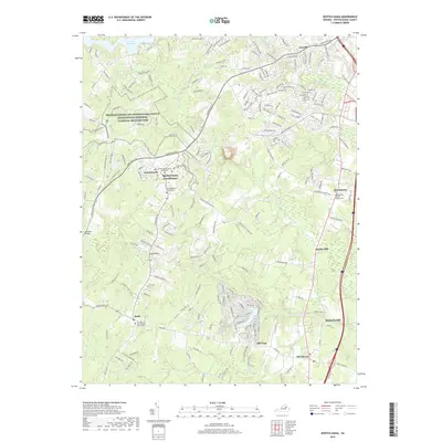
2019 Belmont
Spotsylvania County, VA
2019 Brokenburg
Spotsylvania County, VA
2019 Chancellorsville
Spotsylvania County, VA
2019 Guinea
Spotsylvania County, VA
2019 Lake Anna East
Spotsylvania County, VA
2019 Salem Church
Spotsylvania County, VA
2019 Spotsylvania
Spotsylvania County, VA
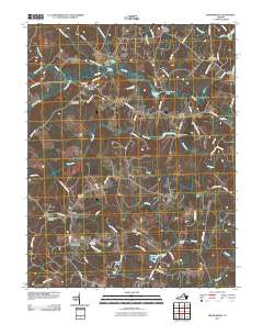
2022 Belmont
Spotsylvania County, VA
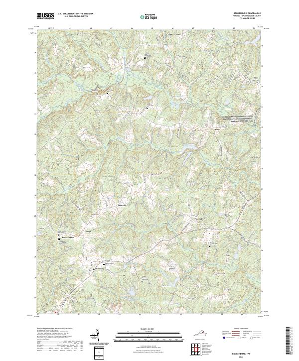
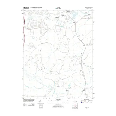
2022 Brokenburg
Spotsylvania County, VA
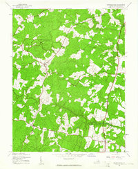
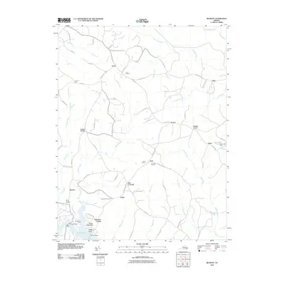
2022 Chancellorsville
Spotsylvania County, VA
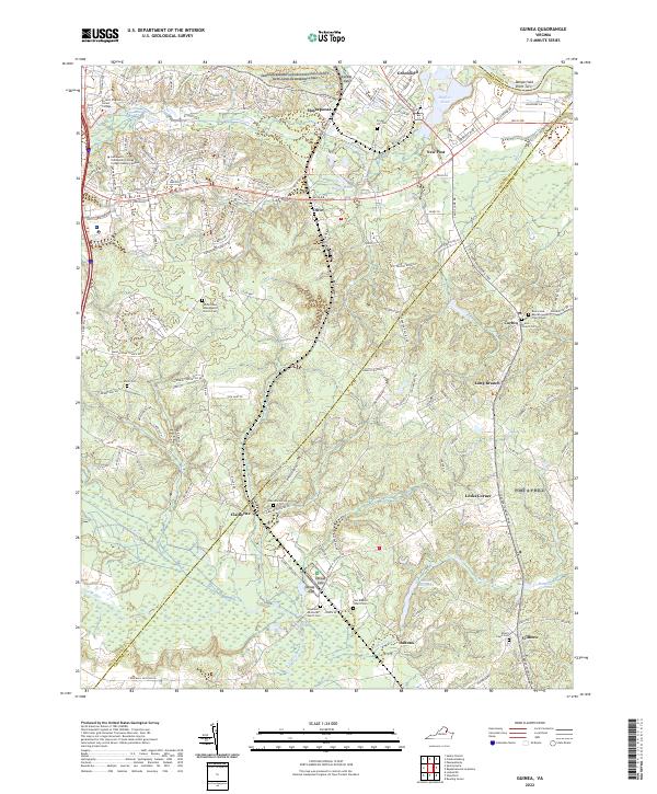
2022 Guinea
Spotsylvania County, VA
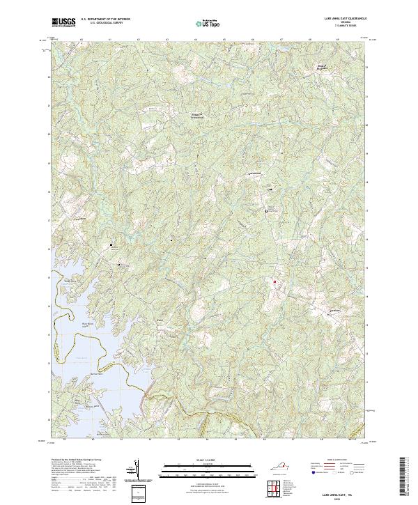
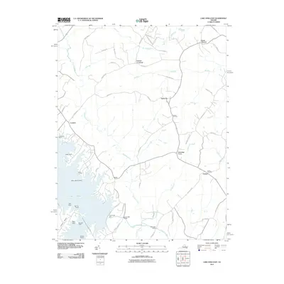
2022 Lake Anna East
Spotsylvania County, VA
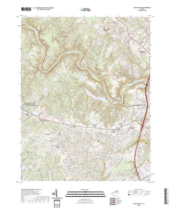
2022 Salem Church
Spotsylvania County, VA
2022 Spotsylvania
Spotsylvania County, VA