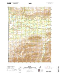
2017 Map of Chandalar A-5 NE
USGS Topo · Published 2017About this map
W Fork Chandalar River snakes across this subarctic landscape in the Yukon-Koyukuk region, carving a wide valley floor marked by intricate elevation contours. The northern reaches of the map are defined by the distinctive high ground of East Buttons, which rises prominently above the surrounding river drainage. This 2017 survey details the complex public land survey system grid, including townships t28n r8w and t27n r7w, illustrating how modern cartography documents this interior Alaskan wilderness. The map is a study in fluvial geomorphology, showing the braided nature of the river as it moves through the Brooks Range foothills.
Find a feature on this map
6 named features on this map. Tap any name to fly to it.
Don’t see what you’re looking for? This feature index may not catch every label — zoom into the map to look around manually.
Map Details
Editions of this 2017 Chandalar A-5 NE Map
This is the sole edition of this map. No revisions or reprints were ever made.
Other maps of this area

1951 · Chandalar
USGS Topo · 1:250,000

1956 · Chandalar
USGS Topo · 1:250,000

1964 · Chandalar
USGS Topo · 1:250,000
1970 · Chandalar A-5
USGS Topo · 1:63,360
1970 · Chandalar A-4
USGS Topo · 1:63,360

1971 · Chandalar B-5
USGS Topo · 1:63,360
1971 · Chandalar B-4
USGS Topo · 1:63,360
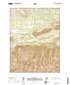
2017 · Chandalar A-4 NW
USGS Topo · 1:25,000
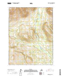
2017 · Chandalar B-4 SW
USGS Topo · 1:25,000
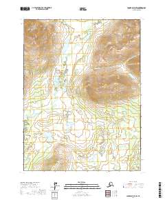
2017 · Chandalar B-5 SW
USGS Topo · 1:25,000