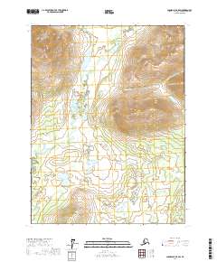
2017 Map of Chandalar B-5 SW
USGS Topo · Published 2017About this map
The S Fork Koyukuk River meanders through the heart of this Yukon-Koyukuk landscape, defining the broad, wetland-rich expanse of the South Fork Flats. This 2017 survey by the U.S. Geological Survey captures a region of significant elevation contrast, where the low-lying river valley is framed by prominent terrain features such as the West Buttons to the south. Tributaries like Glacier Cr and Portland Cr drain the surrounding ridges, illustrating the hydrological network that feeds the larger Koyukuk system. The area is marked by a complete lack of human settlements or roads, representing a portion of the Alaskan interior where the natural drainage patterns of the Minnesota Cr and other mountain streams remain the primary geographic landmarks.
Find a feature on this map
10 named features on this map. Tap any name to fly to it.
Don’t see what you’re looking for? This feature index may not catch every label — zoom into the map to look around manually.
Map Details
Editions of this 2017 Chandalar B-5 SW Map
This is the sole edition of this map. No revisions or reprints were ever made.
Other maps of this area

1951 · Chandalar
USGS Topo · 1:250,000

1956 · Chandalar
USGS Topo · 1:250,000

1964 · Chandalar
USGS Topo · 1:250,000
1970 · Chandalar A-6
USGS Topo · 1:63,360
1970 · Chandalar A-5
USGS Topo · 1:63,360

1971 · Chandalar B-5
USGS Topo · 1:63,360
1971 · Chandalar B-6
USGS Topo · 1:63,360
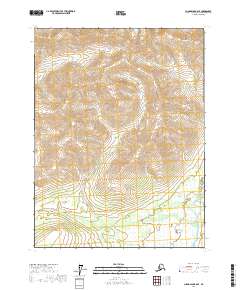
2017 · Chandalar B-6 SE
USGS Topo · 1:25,000
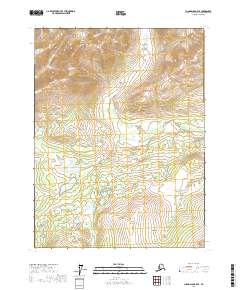
2017 · Chandalar B-5 SE
USGS Topo · 1:25,000
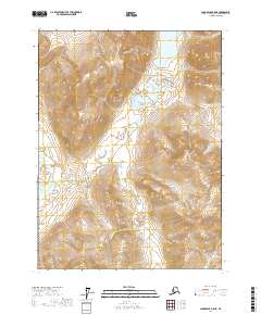
2017 · Chandalar B-5 NE
USGS Topo · 1:25,000