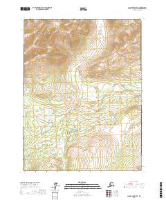
2017 Map of Chandalar B-5 SE
USGS Topo · Published 2017About this map
O'Keefe Hills dominate the northern terrain of this interior Alaskan landscape within the Yukon-Koyukuk Census Area. The topography is defined by the drainage patterns of Crooked Creek, which winds through the central and eastern sections, and Minnesota Creek in the northwest. In the south, the distinct elevation of the East Buttons rises near the border of township t28n r7w. The map illustrates a high-latitude wilderness marked by a network of small lakes and marshy lowlands situated between these significant ridges, reflecting the complex permafrost-influenced hydrology of the Brooks Range foothills.
Find a feature on this map
8 named features on this map. Tap any name to fly to it.
Don’t see what you’re looking for? This feature index may not catch every label — zoom into the map to look around manually.
Map Details
Editions of this 2017 Chandalar B-5 SE Map
This is the sole edition of this map. No revisions or reprints were ever made.
Other maps of this area

1951 · Chandalar
USGS Topo · 1:250,000

1956 · Chandalar
USGS Topo · 1:250,000

1964 · Chandalar
USGS Topo · 1:250,000
1970 · Chandalar A-5
USGS Topo · 1:63,360
1970 · Chandalar A-4
USGS Topo · 1:63,360

1971 · Chandalar B-5
USGS Topo · 1:63,360
1971 · Chandalar B-4
USGS Topo · 1:63,360
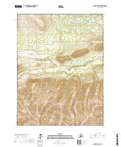
2017 · Chandalar A-4 NW
USGS Topo · 1:25,000
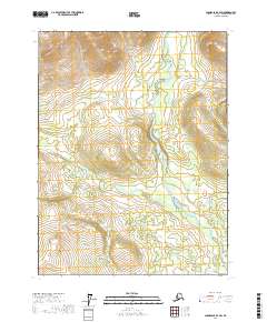
2017 · Chandalar B-4 SW
USGS Topo · 1:25,000
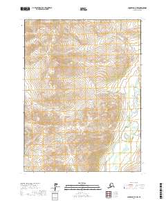
2017 · Chandalar B-4 NW
USGS Topo · 1:25,000