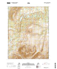
2017 Map of Chandalar A-5 NW
USGS Topo · Published 2017About this map
Boatman Pass serves as a critical geographic marker in this interior landscape of the Yukon-Koyukuk region. The drainage patterns are defined by the W Fork Chandalar River in the northeast and Swash Cr in the southwest, illustrating the complex hydrology of the Arctic wilderness. Topographical landmarks such as West Buttons anchor the northern portion of the quadrangle, where high-elevation contours reveal the steep character of the Brooks Range foothills. This 2017 survey reflects the remote and largely undeveloped nature of the Alaskan interior, showing a landscape defined by natural watercourses and significant elevation changes rather than human infrastructure.
Find a feature on this map
8 named features on this map. Tap any name to fly to it.
Don’t see what you’re looking for? This feature index may not catch every label — zoom into the map to look around manually.
Map Details
Editions of this 2017 Chandalar A-5 NW Map
This is the sole edition of this map. No revisions or reprints were ever made.
Other maps of this area

1951 · Chandalar
USGS Topo · 1:250,000

1956 · Chandalar
USGS Topo · 1:250,000

1964 · Chandalar
USGS Topo · 1:250,000
1970 · Chandalar A-6
USGS Topo · 1:63,360
1970 · Chandalar A-5
USGS Topo · 1:63,360

1971 · Chandalar B-5
USGS Topo · 1:63,360
1971 · Chandalar B-6
USGS Topo · 1:63,360
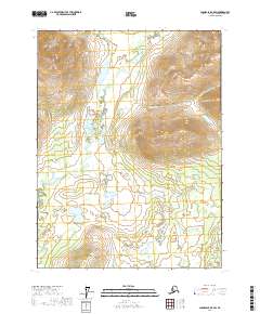
2017 · Chandalar B-5 SW
USGS Topo · 1:25,000
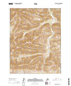
2017 · Chandalar A-5 SE
USGS Topo · 1:25,000
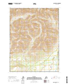
2017 · Chandalar B-6 SE
USGS Topo · 1:25,000