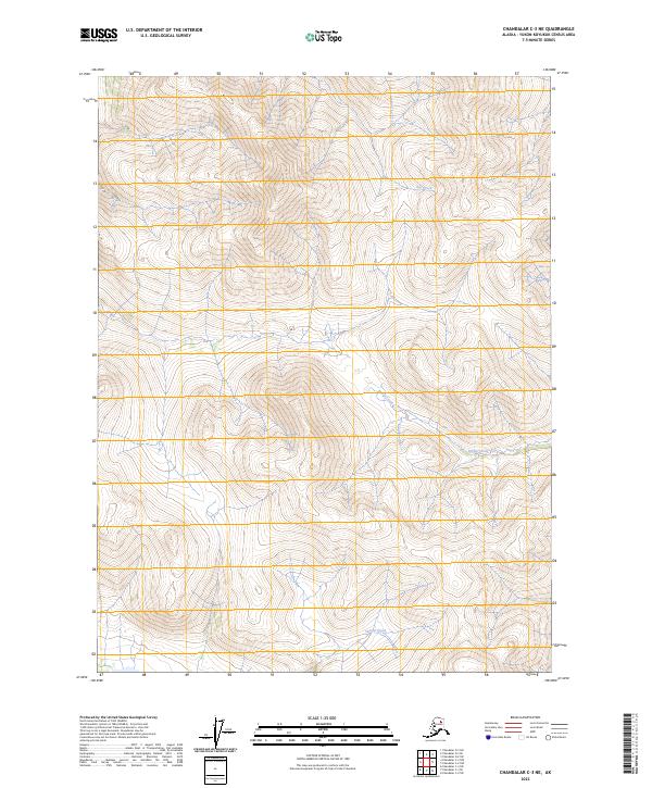
2023 Map of Chandalar C-3 NE
USGS Topo · Published 2023About this map
The interior landscape of the Yukon-Koyukuk region is defined here by the headwaters and drainages of three primary watercourses. Our Creek flows through the northern reaches, while the central and southern terrain is carved by the paths of Bridge Creek and Sammy Creek. This 2023 edition reflects the modern topographical state of this remote Alaskan territory, where the land is strictly organized by the Public Land Survey System. The map documents the intersections of several townships, including t34n r3w and t33n r2w, providing a clear record of these geographic boundaries across a landscape otherwise dominated by natural hydrology and elevation contours. It serves as a precise baseline for understanding the physical geography of the area, though it contains no roads or established settlements.
Find a feature on this map
9 named features on this map. Tap any name to fly to it.
Don’t see what you’re looking for? This feature index may not catch every label — zoom into the map to look around manually.
Map Details
Editions of this 2023 Chandalar C-3 NE Map
This is the sole edition of this map. No revisions or reprints were ever made.
Other maps of this area

1951 · Chandalar
USGS Topo · 1:250,000

1956 · Chandalar
USGS Topo · 1:250,000

1964 · Chandalar
USGS Topo · 1:250,000

1990 · Chandalar C-2
USGS Topo · 1:63,360
1990 · Chandalar D-2
USGS Topo · 1:63,360
1990 · Chandalar C-3
USGS Topo · 1:63,360
1990 · Chandalar D-3
USGS Topo · 1:63,360
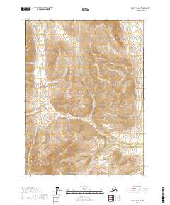
2017 · Chandalar C-2 NW
USGS Topo · 1:25,000
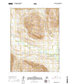
2017 · Chandalar D-2 SW
USGS Topo · 1:25,000
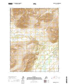
2017 · Chandalar C-2 SW
USGS Topo · 1:25,000