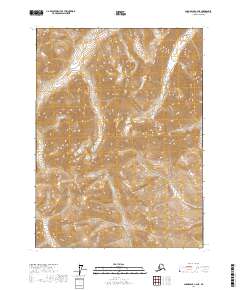
2017 Map of Chandalar C-4 NE
USGS Topo · Published 2017About this map
Geroe Cr and Anderson Cr drain this high-latitude terrain within the Yukon-Koyukuk Census Area, flowing through a landscape defined by sharp elevation shifts and steep-walled drainages. The hydrology is dominated by north-south watercourses, including the parallel paths of N Twin Cr and S Twin Cr in the eastern portion of the quadrangle. This 2017 survey reflects the interior wilderness of northern Alaska, where the Public Land Survey System grid lines intersect a topography lacking roads or established settlements. The drainage patterns of these creeks provide the primary geographic markers for navigating the complex slopes and ridgelines that characterize this portion of the Chandalar C-4 NE quadrangle.
Find a feature on this map
10 named features on this map. Tap any name to fly to it.
Don’t see what you’re looking for? This feature index may not catch every label — zoom into the map to look around manually.
Map Details
Editions of this 2017 Chandalar C-4 NE Map
This is the sole edition of this map. No revisions or reprints were ever made.
Other maps of this area

1951 · Chandalar
USGS Topo · 1:250,000

1956 · Chandalar
USGS Topo · 1:250,000

1964 · Chandalar
USGS Topo · 1:250,000
1971 · Chandalar C-4
USGS Topo · 1:63,360
1971 · Chandalar D-4
USGS Topo · 1:63,360
1990 · Chandalar C-3
USGS Topo · 1:63,360
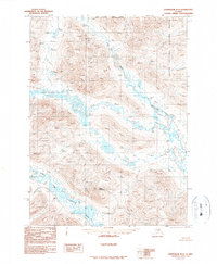
1990 · Chandalar D-3
USGS Topo · 1:63,360
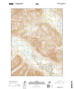
2017 · Chandalar D-3 SW
USGS Topo · 1:25,000
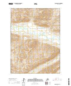
2017 · Chandalar D-4 SE
USGS Topo · 1:25,000
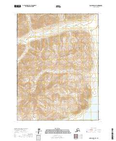
2017 · Chandalar C-4 SE
USGS Topo · 1:25,000