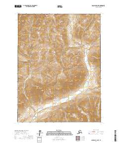
2017 Map of Chandalar C-5 NE
USGS Topo · Published 2017About this map
Robert Creek and its tributary branches define the high-latitude drainage of this Yukon-Koyukuk region. The landscape is characterized by the complex hydrology of Sheep Creek and Willow Creek, which carve through the high elevations of the t33n r7w and t34n r7w township blocks. Surveyed for the U.S. Geological Survey using 2010 imagery, the map provides a precise record of the natural watercourses before any significant human development or infrastructure was introduced. The absence of roads or permanent structures across these township lines highlights the remote, untouched nature of this Arctic terrain, where the primary landmarks are the shifting beds of Robert Cr and the steep contour gradients of the surrounding peaks.
Find a feature on this map
12 named features on this map. Tap any name to fly to it.
Don’t see what you’re looking for? This feature index may not catch every label — zoom into the map to look around manually.
Map Details
Editions of this 2017 Chandalar C-5 NE Map
This is the sole edition of this map. No revisions or reprints were ever made.
Other maps of this area

1951 · Chandalar
USGS Topo · 1:250,000

1956 · Chandalar
USGS Topo · 1:250,000

1964 · Chandalar
USGS Topo · 1:250,000
1971 · Chandalar D-5
USGS Topo · 1:63,360

1971 · Chandalar C-5
USGS Topo · 1:63,360
1971 · Chandalar C-4
USGS Topo · 1:63,360
1971 · Chandalar D-4
USGS Topo · 1:63,360
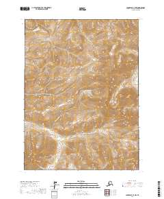
2017 · Chandalar C-4 NW
USGS Topo · 1:25,000
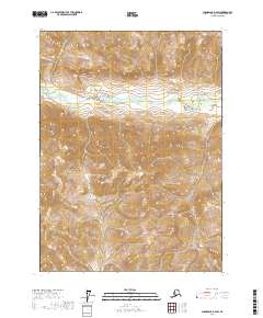
2017 · Chandalar D-4 SW
USGS Topo · 1:25,000
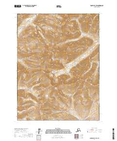
2017 · Chandalar C-4 SW
USGS Topo · 1:25,000