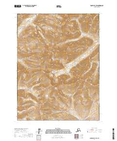
2017 Map of Chandalar C-4 SW
USGS Topo · Published 2017About this map
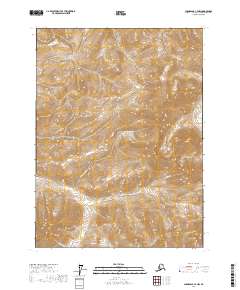
High-elevation drainages of the Brooks Range define this interior Alaskan landscape, where the headwaters of several remote creek systems carve through complex topography. The map area is dominated by the distinct watersheds of Big Jim Cr and Schrader Cr in the south, while Phoebe Cr and Baby Cr drain the northern slopes. This 2017 survey reflects the enduring wilderness of the Yukon-Koyukuk region, showing no roads or permanent structures, only the raw natural geometry of the terrain. The Public Land Survey System grid lines for t32n r6w and adjacent townships overlay these high valleys, providing a rare technical reference for a landscape largely untouched by infrastructure.
Find a feature on this map
10 named features on this map. Tap any name to fly to it.
Don’t see what you’re looking for? This feature index may not catch every label — zoom into the map to look around manually.
Map Details
Editions of this 2017 Chandalar C-4 SW Map
This is the sole edition of this map. No revisions or reprints were ever made.
Other maps of this area

1951 · Chandalar
USGS Topo · 1:250,000

1956 · Chandalar
USGS Topo · 1:250,000

1964 · Chandalar
USGS Topo · 1:250,000

1971 · Chandalar B-5
USGS Topo · 1:63,360

1971 · Chandalar C-5
USGS Topo · 1:63,360
1971 · Chandalar C-4
USGS Topo · 1:63,360
1971 · Chandalar B-4
USGS Topo · 1:63,360
2017 · Chandalar C-4 SE
USGS Topo · 1:25,000
2017 · Chandalar C-4 NW
USGS Topo · 1:25,000
2017 · Chandalar B-4 NW
USGS Topo · 1:25,000