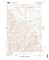
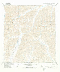
1971 Map of Chandalar D-5
USGS Topo · Published 1973About this map
The North Fork Chandalar River dominates this portion of the Alaskan interior, carving a path through high elevations in the early 1970s. This survey, compiled from 1970 aerial photography, depicts a landscape defined almost entirely by its drainage systems, including Quartz Creek and Mathews River. A significant geopolitical marker, the North Boundary Fairbanks Meridian, runs through the upper section of the map, delineating land divisions in this unpopulated region. The absence of roads or established settlements emphasizes the wilderness character of the territory, where transport and travel were likely dictated by the seasonal flow of water bodies like Big Spruce Creek and Robert Creek. The land lines shown represent unsurveyed locations predetermined by the Bureau of Land Management, reflecting the ongoing process of mapping the Alaskan frontier.
Find a feature on this map
6 named features on this map. Tap any name to fly to it.
Don’t see what you’re looking for? This feature index may not catch every label — zoom into the map to look around manually.
Map Details
Editions of this 1971 Chandalar D-5 Map
2 editions found
Other maps of this area

1951 · Chandalar
USGS Topo · 1:250,000

1951 · Brooks
USGS Topo · 1:250,000

1956 · Chandalar
USGS Topo · 1:250,000

1956 · Philip Smith Mountains
USGS Topo · 1:250,000

1964 · Chandalar
USGS Topo · 1:250,000

1964 · Philip Smith Mountains
USGS Topo · 1:250,000
1971 · Philip Smith Mountains A-5
USGS Topo · 1:63,360
1971 · Chandalar D-6
USGS Topo · 1:63,360
1971 · Chandalar D-5
USGS Topo · 1:63,360
1971 · Philip Smith Mountains A-4
USGS Topo · 1:63,360