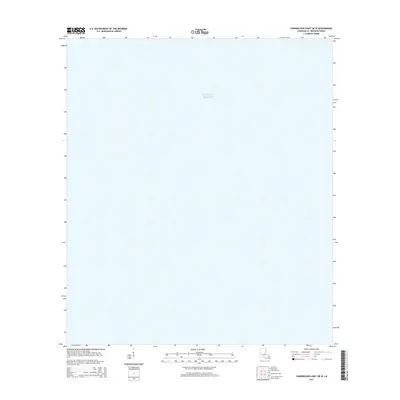
2015 Map of Chandeleur Light OE W
USGS Topo · Published 2015About this map
The waters of the Gulf of Mexico dominate this 2015 maritime survey of Saint Bernard Parish, Louisiana. As part of the Chandeleur Light OE W quadrangle, the map focus is almost entirely offshore, representing the open expanse of the gulf near the Louisiana coastline. Unlike inland topographic sheets, the data here emphasizes the geographic position and aquatic environment of the outer reaches of the Mississippi River Delta region. This specific sheet provides a detailed grid of the coastal waters during the mid-2010s, serving as a clean reference for the nautical boundaries and maritime coordinates of this protected parish territory.
Find a feature on this map
1 named feature on this map. Tap any name to fly to it.
Don’t see what you’re looking for? This feature index may not catch every label — zoom into the map to look around manually.
Map Details
Editions of this 2015 Chandeleur Light OE W Map
This is the sole edition of this map. No revisions or reprints were ever made.
Other maps of this area

1893 · Cat Island
USGS Topo · 1:62,500

1893 · Chandeleur
USGS Topo · 1:62,500

1950 · Dog Keys Pass
USGS Topo · 1:24,000

1950 · Ship Island
USGS Topo · 1:24,000

1951 · North Islands
USGS Topo · 1:24,000

1951 · Cat Island
USGS Topo · 1:24,000

1951 · Chandeleur Light
USGS Topo · 1:24,000

1953 · Mobile
USGS Topo · 1:250,000

1957 · Mobile
USGS Topo · 1:250,000

1957 · Breton Sound
USGS Topo · 1:250,000