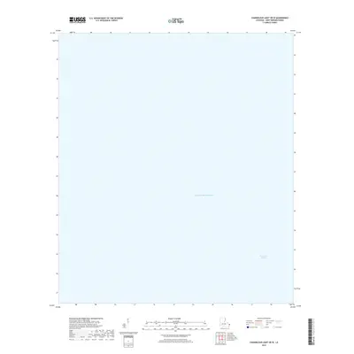
2018 Map of Chandeleur Light OE W
USGS Topo · Published 2018About this map
Gulf of Mexico waters dominate this maritime survey of the outer reaches of Saint Bernard Parish. Positioned within the barrier island system of the Louisiana coast, the map focuses on the open expanse where the gulf meets the Chandeleur Sound. This specific region is defined by its lack of terrestrial landmass, instead providing a precise record of the bathymetric and hydrographic boundaries as they existed in the late 2010s. For researchers and maritime historians, the sheet offers a clear depiction of the aquatic environment and territorial limits surrounding the Chandeleur Islands chain, essential for understanding the shifting coastal dynamics of this volatile portion of the Louisiana shoreline.
Find a feature on this map
2 named features on this map. Tap any name to fly to it.
Don’t see what you’re looking for? This feature index may not catch every label — zoom into the map to look around manually.
Map Details
Editions of this 2018 Chandeleur Light OE W Map
This is the sole edition of this map. No revisions or reprints were ever made.
Other maps of this area

1893 · Cat Island
USGS Topo · 1:62,500

1893 · Chandeleur
USGS Topo · 1:62,500

1950 · Dog Keys Pass
USGS Topo · 1:24,000

1950 · Ship Island
USGS Topo · 1:24,000

1951 · North Islands
USGS Topo · 1:24,000

1951 · Cat Island
USGS Topo · 1:24,000

1951 · Chandeleur Light
USGS Topo · 1:24,000

1953 · Mobile
USGS Topo · 1:250,000

1957 · Mobile
USGS Topo · 1:250,000

1957 · Breton Sound
USGS Topo · 1:250,000