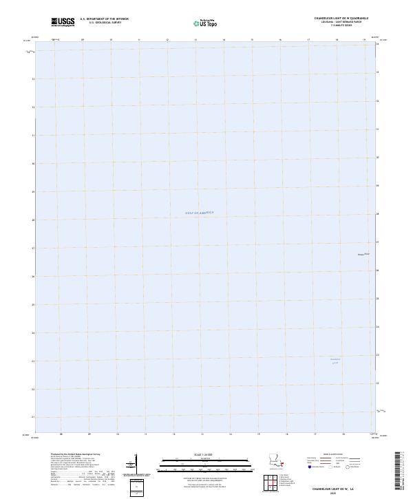
2025 Map of Chandeleur Light OE W
USGS Topo · Published 2025About this map
Hewes Point stands as a primary geographic marker in this maritime region of Saint Bernard Parish, positioned where the barrier landscape meets the open waters. This survey documents the reach of the Chandeleur Sound as it transitions into the Gulf of America, providing a specialized view of the coastal shelf and navigation environment in the 2020s. Unlike more terrestrial maps, this sheet focus almost entirely on the hydrographic boundary, making it an essential reference for understanding the modern shape of these vulnerable outer barrier islands and their relationship to the surrounding seafloor.
Find a feature on this map
3 named features on this map. Tap any name to fly to it.
Don’t see what you’re looking for? This feature index may not catch every label — zoom into the map to look around manually.
Map Details
Editions of this 2025 Chandeleur Light OE W Map
This is the sole edition of this map. No revisions or reprints were ever made.
Other maps of this area

1893 · Cat Island
USGS Topo · 1:62,500

1893 · Chandeleur
USGS Topo · 1:62,500

1950 · Dog Keys Pass
USGS Topo · 1:24,000

1950 · Ship Island
USGS Topo · 1:24,000

1951 · North Islands
USGS Topo · 1:24,000

1951 · Cat Island
USGS Topo · 1:24,000

1951 · Chandeleur Light
USGS Topo · 1:24,000

1953 · Mobile
USGS Topo · 1:250,000

1957 · Mobile
USGS Topo · 1:250,000

1957 · Breton Sound
USGS Topo · 1:250,000