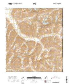
2017 Map of Chandler Lake A-1 SE
USGS Topo · Published 2017About this map
The Continental Divide winds through this high-altitude landscape of the North Slope, separating the drainage basins of the Arctic wilderness. The Itkillik River carves a path through the western half of the sheet, while prominent peaks like Oolah Mtn and Oxadak Mtn dominate the horizon. This terrain sits at the intersection of protected federal lands, where the Gates of the Arctic National Park meets the Gates of the Arctic National Preserve. The topography reveals the natural corridor provided by Oolah Pass, a key feature for navigation through this mountain range. Small tributaries like Kuyuktuvuk Cr drain toward the north, illustrating the complex hydrology of this remote interior region.
Find a feature on this map
14 named features on this map. Tap any name to fly to it.
Don’t see what you’re looking for? This feature index may not catch every label — zoom into the map to look around manually.
Map Details
Editions of this 2017 Chandler Lake A-1 SE Map
This is the sole edition of this map. No revisions or reprints were ever made.
Other maps of this area

1951 · Chandler Lake
USGS Topo · 1:250,000

1951 · Chandalar
USGS Topo · 1:250,000

1951 · Brooks
USGS Topo · 1:250,000

1951 · Wiseman
USGS Topo · 1:250,000

1956 · Chandalar
USGS Topo · 1:250,000

1956 · Wiseman
USGS Topo · 1:250,000

1956 · Philip Smith Mountains
USGS Topo · 1:250,000

1956 · Chandler Lake
USGS Topo · 1:250,000

1964 · Wiseman
USGS Topo · 1:250,000

1964 · Chandalar
USGS Topo · 1:250,000